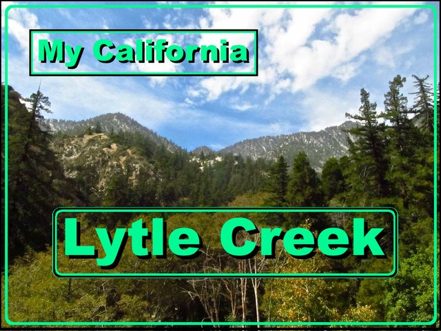
My California - Lytle Creek
For this weeks Show Us Your California contest by @socalsteemit I take you to a beautiful place in the San Gabriel mountains...
Lytle Creek!!

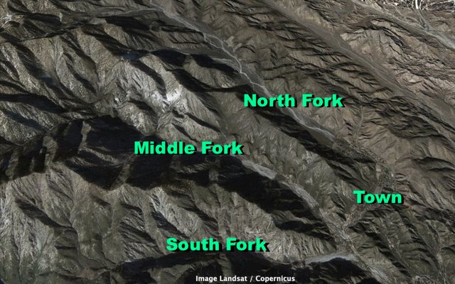
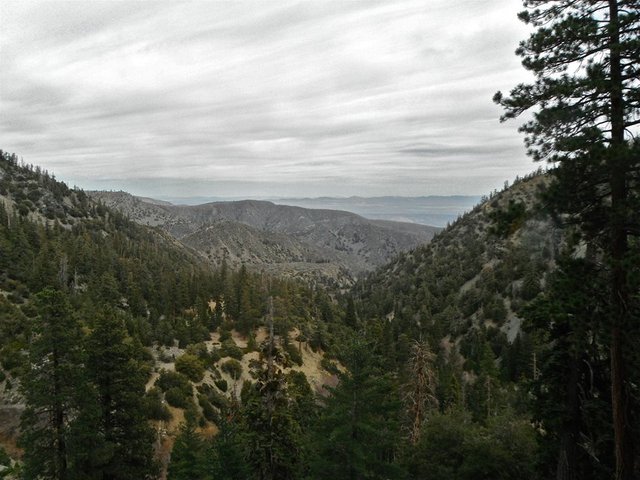
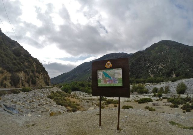
Lytle Creek was named in 1851 after Captain Andrew Lytle a Mormon settler. The creek runs southeast from the San Gabriel high country down the canyon and out across the valley to join the Santa Ana river. The creek has three major forks. The North fork, the Middle fork, and the South fork. In the North fork just above the split with the other forks is the tiny town of Lytle creek. Above the town the North fork stretches out straight for a long distance passing the shooting range and eventually getting to the split with the Coldwater canyon tributary. Getting into Coldwater canyon requires 4wd, but it's a beautiful little canyon. Above Coldwater you get to Stockton flats a big flat forested area that was once planned to be incorporated into the Mt. Baldy ski area above it, but has remained a public "yellow post" camping area.
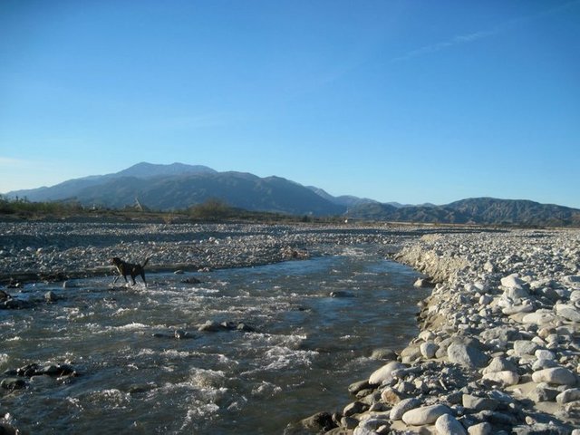
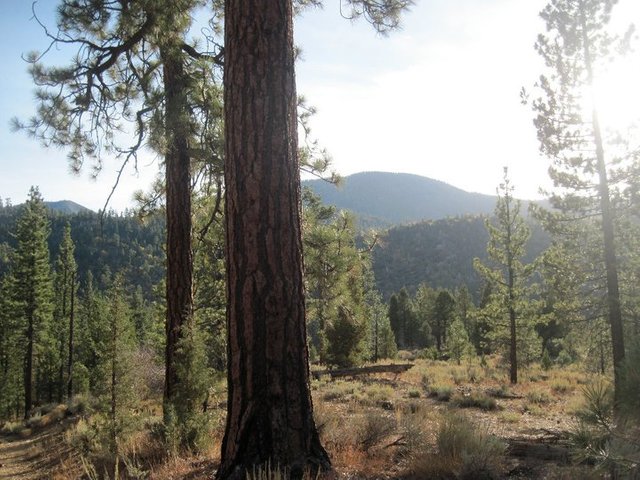
Lytle Creek in the valley
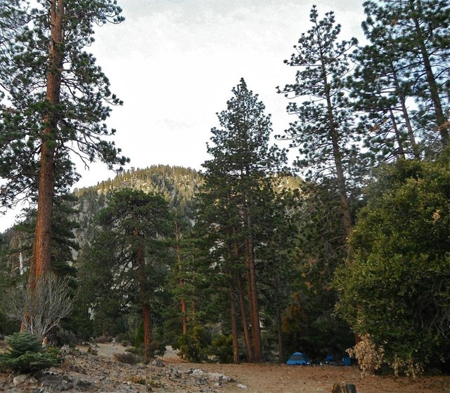
Stockton Flats
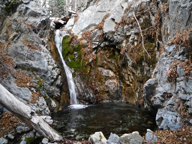
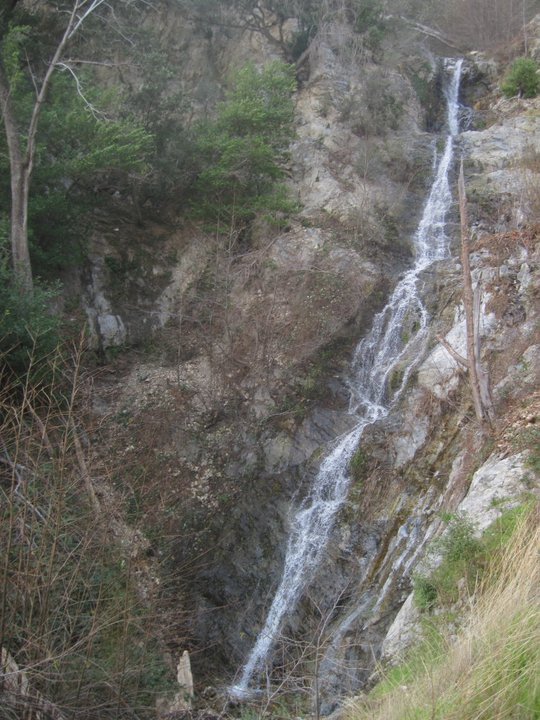
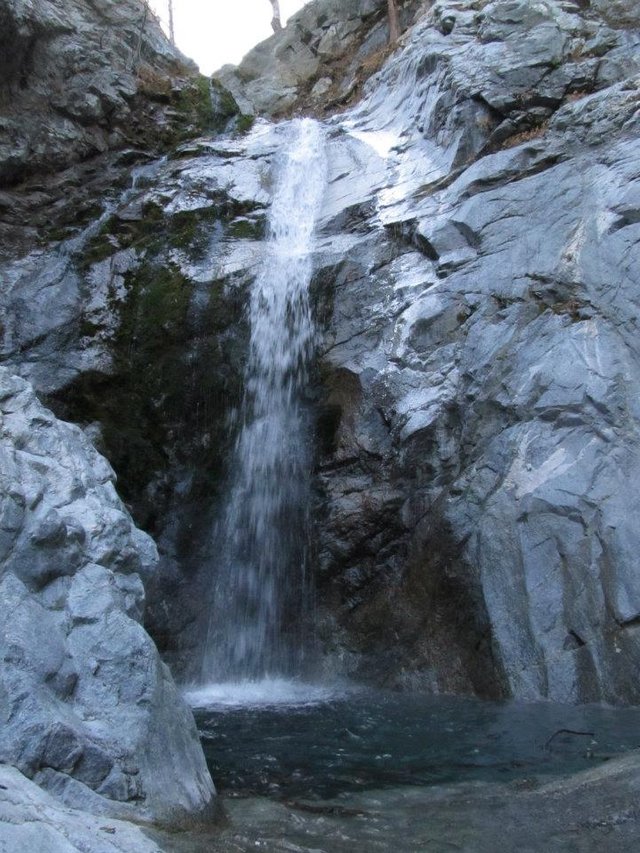
One of the main attractions of Lytle creek is it's many beautiful waterfalls. The most popular of which is Bonita Falls about a half mile up the South fork. There is no trail up the South fork but lots and lots of people make the walk up the canyon to Bonita falls. Beyond Bonita falls the South fork is rarely explored even though there is lots more to see in the canyon including some old mines and a bunch more big waterfalls!
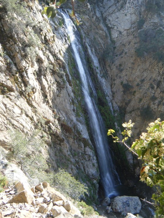
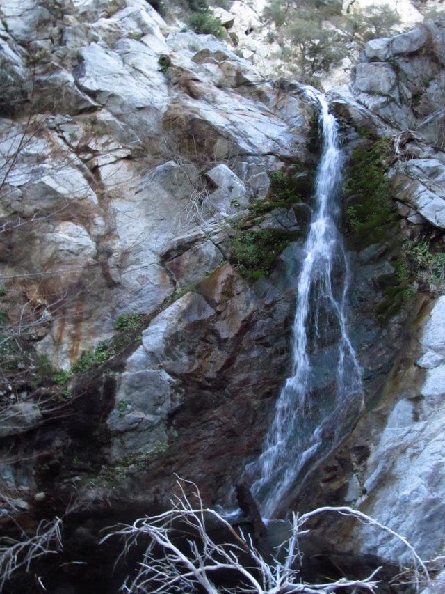
Bonita falls
Powerline falls
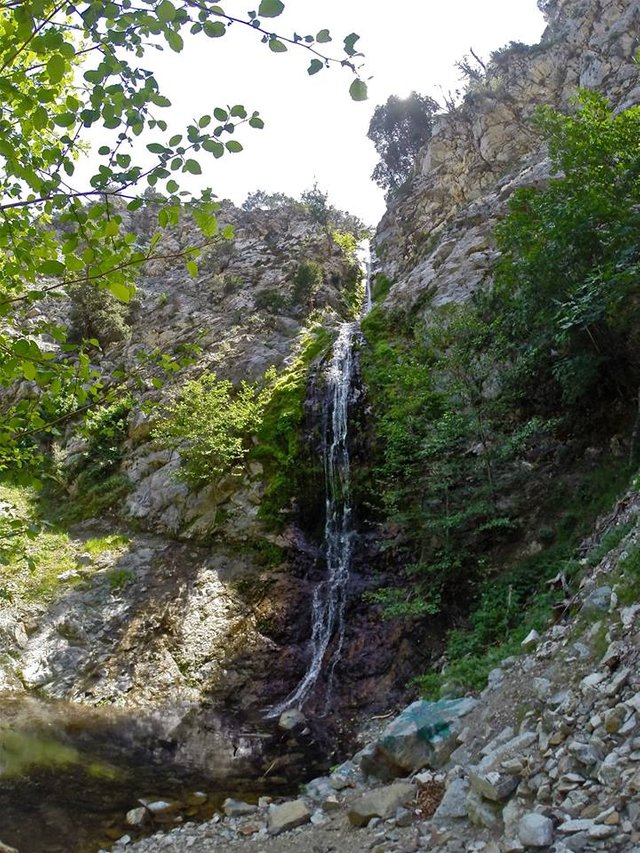
Lower South fork falls
Upper South fork falls
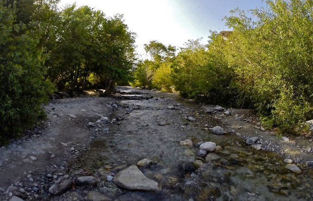
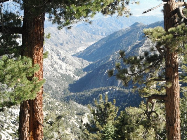
But in my opinion the Middle fork is the gem of Lytle creek. From the split you follow a dirt road a few miles up the canyon to the Middle fork trailhead. From there you enter one of the most beautiful areas of the San Gabriel mountains. Lots of water, big trees, big cliffs, big mountains, tons of wildlife including a herd of Bighorn sheep... the Middle fork has it all. The trail follows up the canyon passing three great trail camps (Stonehouse, Third Stream Crossing, and Comanche Camp) and some incredible waterfalls along the way and eventually ends at the top at Icehouse saddle. I've taken lots and lots of trips up and down the Middle fork and have explored all over the canyon!
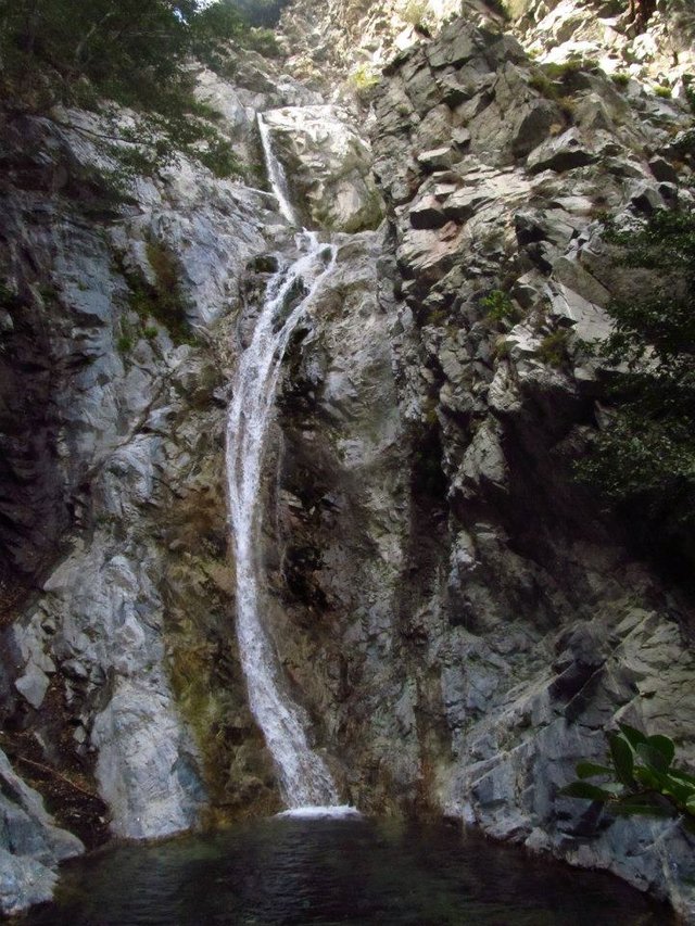
Third Stream falls
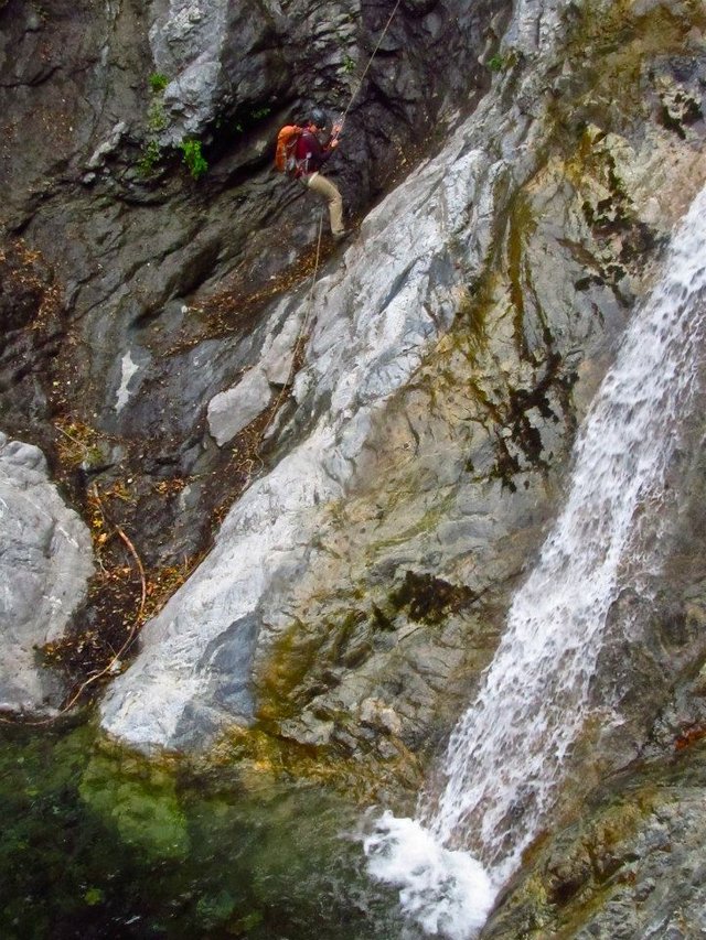
A canyoneer rappelling down Third Stream falls
The swimming hole at Comanche falls
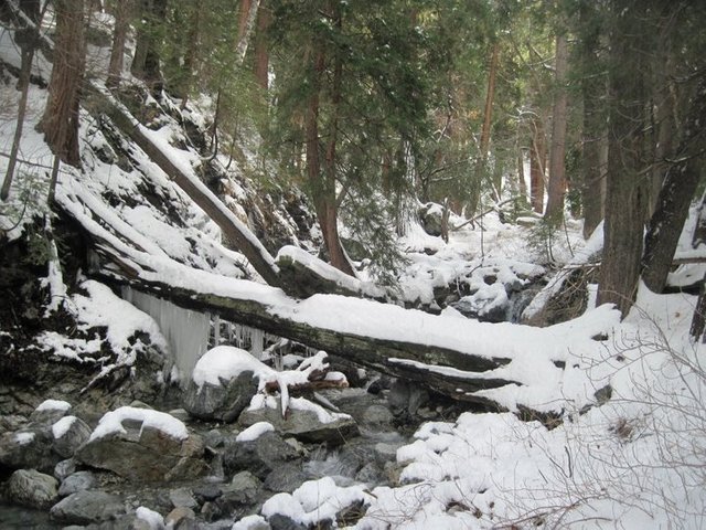
Winter in the canyon
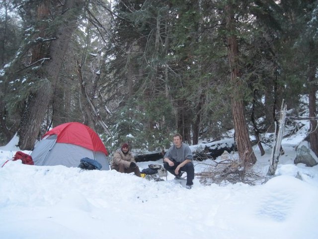
Snow camping at Comanche camp
To wrap up this post I'll leave you with a video I made in 2012 while camping for a few days at Third Stream crossing where I highlight many of the waterfalls in the Middle fork!
Thanks for coming along on this tour of
Lytle Creek, CA!
I really hope you have enjoyed this weeks glimpse into My California!!
Steemit World Map
https://www.facebook.com/CAmountainadventures
Contact me on Discord


#SoCalSteemit is building and supporting the Steemit community of Southern California. If you are from SoCal and are into creating quality content here on Steemit, we'd love for you to follow us @SoCalSteemit and join our group on Discord


Join us @steemitbloggers
Animation By @zord189


Hiya, @livinguktaiwan here, just swinging by to let you know you're being featured in today's Travel Digest #382.
Please drop by to check out all the rest of today's great posts and consider upvoting the Travel Digest if you like what we're doing.
Sweet!! Thank you @livinguktaiwan!
Congratulations, Your Post Has Been Added To The Steemit Worldmap!
Author link: http://steemitworldmap.com?author=derekrichardson
Post link: http://steemitworldmap.com?post=my-california-lytle-creek
Want to have your post on the map too?
Dear @derekrichardson,
Thank you for the submission for our project – 1001 Places to Remember. Hooray, your story is now listed in our project publication, you can check through our progressive report either from our @fundition project page or @archisteem account. We will be sorting out the seasonal shortlist authors and make an announcement soon for the seasonal reward.
Stay tuned and Steem on!
@archisteem and team
Okay, I am not sure how I have missed your posts! Goes to show how we are not shown everything even when we search! I do love the way you are formatting this series and I am enjoying the subject matter for sure. Scott and I are not into the "rugged" camping as you seem to be, but we do love exploring, simple hiking, and pitching our hammocks up. I will be focusing on this series of posts in the future.
That said, I am loving this area. We also try to find a "location" and really see what is there. I think my favorite photo in this post is the "Overlooking the Middle fork from the Three T's trail." I tend to enjoy thoses types of views where Scott would be drooling over all the waterfall photos.
Thanks for sharing this and can't wait to see more!
Ren