Pythagoras - The mapping solution for your geodata
Pythagoras
The mapping solution for your geodata
Screenshots
 View Image | 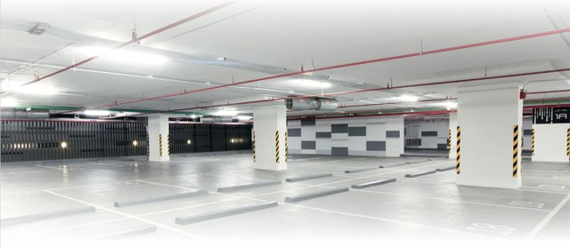 View Image |  View Image | 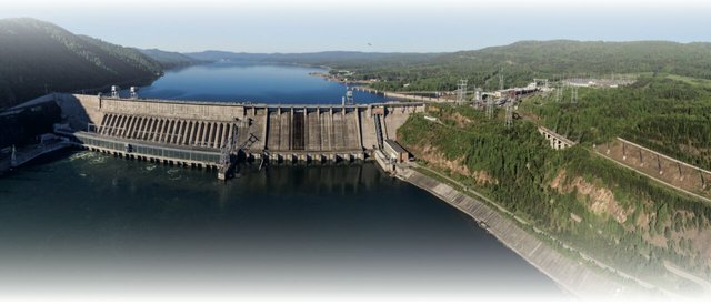 View Image | 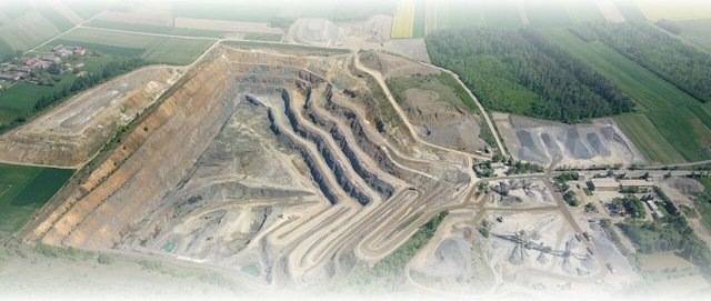 View Image |
|---|---|---|---|---|
Hunter's comment
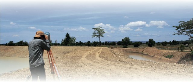
This is a 360 degree product that offers all-in-one solution for dredging, agriculture, infrastructure, and surveying.
With Pythagoras CAD + GIS,
Data sets coming from total stations, GPS instruments, laser scanners, mobile mappers, UAV and drones, single and multi beam systems and other CAD and GIS software packages can be handled and processed with ease. Source
A multi-dimensional product, Pythagoras CAD + GIS
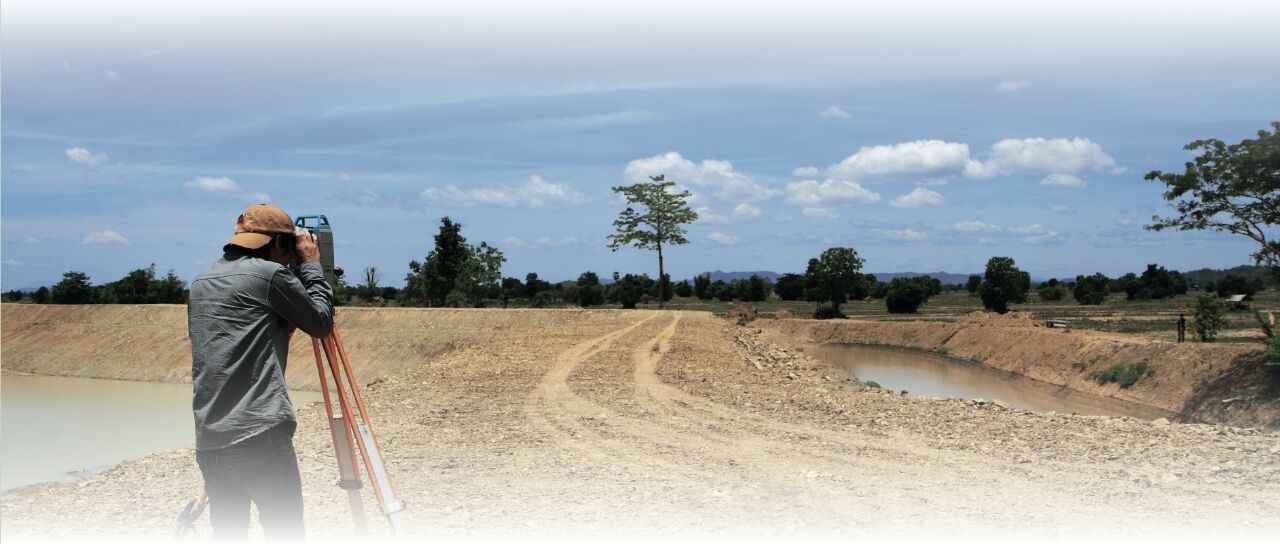
- Helps surveyors in their various services in different sectors.
- Filters floor plan, etc from large data sets in indoor mapping
- Helps in machine control by analysing data types
- Helps in mining by efficient handling of data sets, converting them into excavation reports, contour lines, 3D models, etc
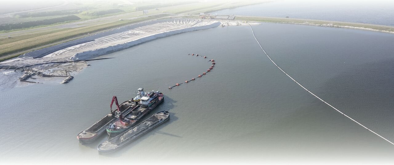
- Manages hydrographical surveys/designs in dredging
- Offers tools essential in project monitoring
Link

This is posted on Steemhunt - A place where you can dig products and earn STEEM.
View on Steemhunt.com
Keep following the posting guidelines and hunt cool products!
Connect with Steemhunt
Done. thanks
Hehe, when i read its name it sounds like Pythogras hehe i thought you are telling us about what is Pythagoras theorem hehe lol, i am still laughing damn i need eye checkup. Then i read its description so realised it is something different. Umm i never read and heard about a 360-degree product🤔 well good to know it's providing all in one service such as dredging, agriculture, infrastructure, and surveying so along with its features it seems to be pretty cool best of luck then
Lol! That's what maths class did to us. Hehe! I love the humor. Thanks for stopping by.
This software seems to take mapping to the entire new level in a way that allows to do lot more things that used to seem impossible or very difficult in the past. Very happy to see it at the top.
Looking at what this service is rendering really gladdens my heart. From dredging, agriculture, infrastructure, down to surveying, this is really great. Not too into such field but this is definitely a cool hunt @diana1
Thanks so much, @tfame3865. U might just need it someday, so note it down (winks)
This product could be best for those who in agriculture or on in landing business, This app can help you see your land in the 3D environment to see how you are doing your work. best hunt @diana1
Awesome Hunt!
Pythagoras Theorem= (AC)^2=(AB)^2+(BC)^2 :grinning:
It is very helpful for Engineers to understand the requirement and create visual presentation of the Project and it is the most important step that needs to be followed before jumping in the construction. With the help of CAD and GIS analysis become much more easier which is good to build a Good Model.
Thank You and Wish you a Good Ranking...
would be great for econony as its great for dredging, agriculture, infrastructure, and surveying. and also will help alot in business i think :)
Great hunt friend keep on hunting 😊 upvoted😊
A great CAD & GIS solution for mapping projects. Surverying, indoor mapping, UAV Lidar, Machine Control, Mining and solutions for several other such fields make it a complete software.
Wow! What a great app you have searched. I have been searching for this types of app only and you have brought this to me. This app also make easy the mapping projects. We can do indoor mapping or other and this will be the great solution is we face any problem while doing mapping. Also the features present in this like dredging, agriculturing and surveying are good. I will definitely use this.
Great search and good innovative hunting!!! @diana1
This is really cool for people that are into agriculture and building construction. They can now easily map out large piece of land and understand their dimension and layout in a cool way.