Airborne Laser Scanning - Helicopter RADAR
Airborne Laser Scanning
Helicopter RADAR
Screenshots
 View Image | 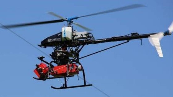 View Image |
|---|---|
Hunter's comment
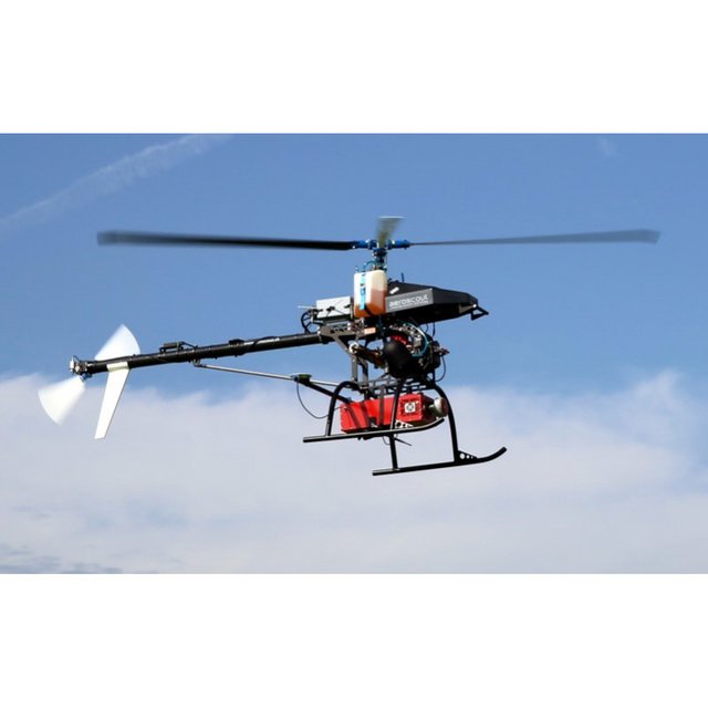
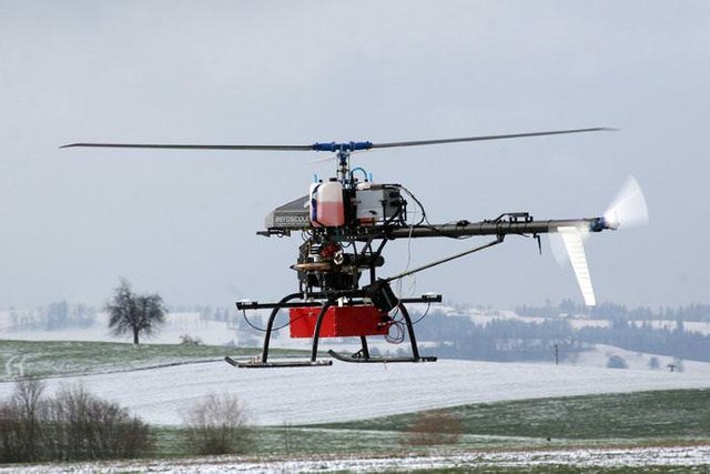
Airborne Laser Scanning is a flying Helicopter RADAR.Use in those area in which difficult to collect the information of the earth.
FEATURES:
- ELEVATION:
This Helicopter is used to find the elevations of roads and buildings - AGRICULTURE:
It helps the farmer to find the area that uses high cost fertilizer. - MAPPING:
It give 3D picture of the ground which makes easier to plan roads, buildings, bridges and rivers. - OIL AND GAS DEPOSITS:
It can be used to find the molecules content in the atmosphere . This tracking helps to find the Oil and Gas deposits. - UTILITY INFRASTRUCTURE;
It is used to find the Utility Infrastructure of the ground. - DEVELOPMENT PLANNING:
It use as a Development Planning of the earth.
Link
Contributors
Hunter: @muhammadhateeb

This is posted on Steemhunt - A place where you can dig products and earn STEEM.
View on Steemhunt.com
Great hunt @muhammadhateeb! This hunt has been verified and approved by the Steemhunt Moderation Team. Great job! Happy hunting.
It's great to see a great hunt from you and this is my opinion about your hunt
Pros:
This is a versatile glyph, because with some great benefits like:
Cons:
Lastly
This is the value I give to your hunt
Congratulation! Your hunt was ranked in 43rd place on 8 Jul 2018 on Steemhunt.
We have upvoted your post for your contribution within our community.
Thanks again and look forward to seeing your next hunt!
Want to chat? Join us on: