Mount Kilimanjaro in 3D - Explore it with your Browser
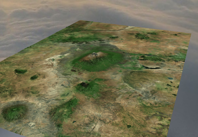
Being one of the most topographically prominent summits on earth, it's a perfect subject for my little 3D terrain app. Using open global elevation data provided by Amazon Web Services, Satellite images provided by ESRI and the THREE.js Javascript library, it's possible to build a 3D model of any place on the planet.
It's not 100% ready yet, so give me some more days to make it public.
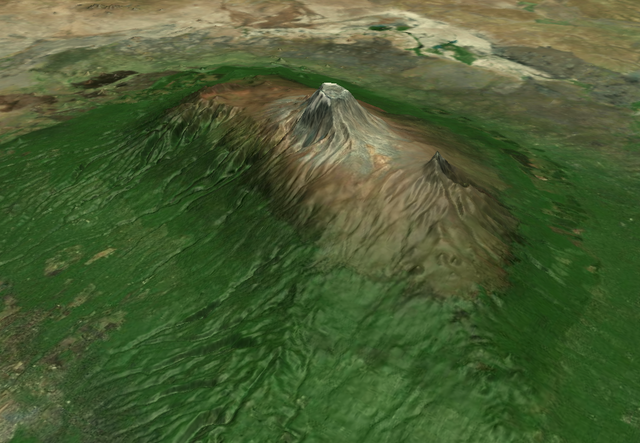
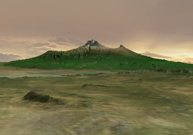
Look how beautiful it is. It really makes me want to go there :-)
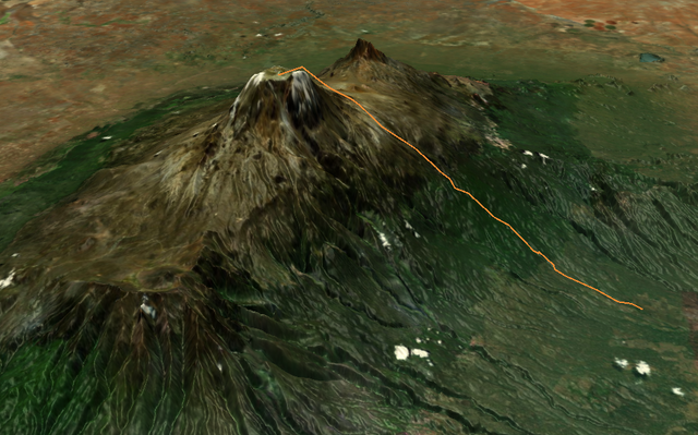
And if you wanted to hike it, that would be a possible path.
Nice @mcsvi . I had a play with rendering topographic data in Blender recently, although it was kind of a pain get the satellite data to overlay. What you have here looks cool, look forward to when your ready.
Nice I used to do ray-tracing with POV back in the 80s....Had to write specular shading components for it.
LOL I have a Master's in Compiler Construction and Computer Graphics. So marrying low level graphics and higher level control was my fortay....
What one can do with Blender and Sketchup is something we could have been doing back in the 80s had we had the processing power, memory and bandwidth!
Now it's bloatware...LOL