Houlton, Maine...northern terminus of America's longest N-S Highway, Rt. 95. Part I.
Not quite our hometown, Houlton (pop. 5828) is where we hearty rural folks from Amity, Maine (pop. 223) do all of our shopping, gassing up, Walmarting, etc. You see, Amity has ZERO stores, ZERO stop lights, no industry of any kind, and only 5 stop signs...lol... SO, we have to bundle up the buggy to go to town when we need anything, and this tends to make you buy in bulk more, and to pay much more attention to the shelf life of various items than you otherwise might, because it's a 32-mile round trip to get something/anything..if you forget it.
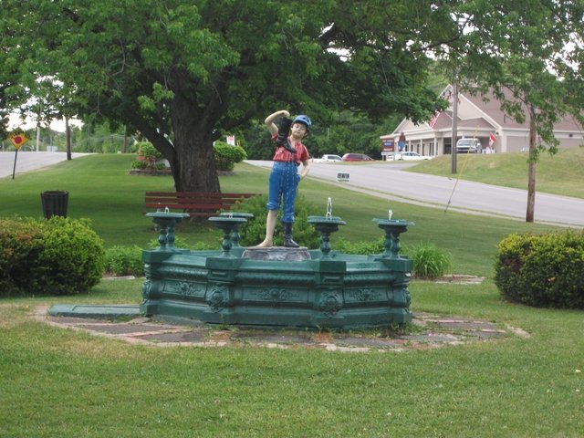
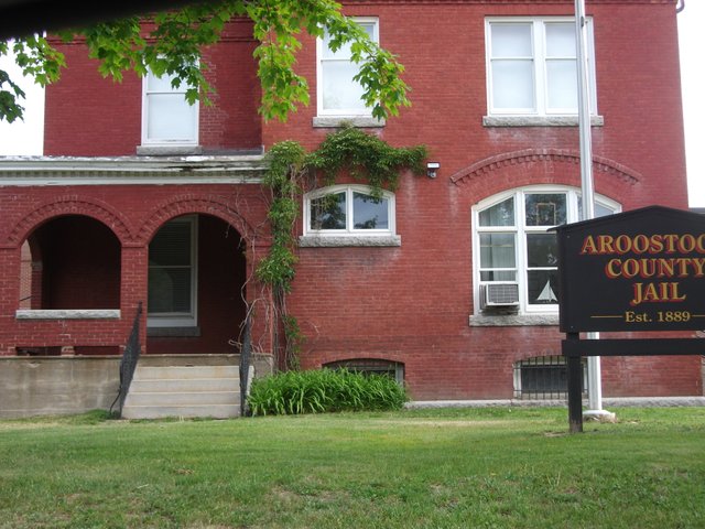
Above is the iconic statue of the boy and his boot which "Shiretowners" (people from Houlton...nicknamed "The Shire") have adopted as their symbol. Nobody seems to really know why, but he is kind of cute. It sits in one of the three small parks in the "town," which is at the very northern end of Rt. 95. (The other end of America's longest north-south freeway is located in downtown Miami, FL.) There are two "cities" (Presque Isle and Caribou) in the East's largest county, but oddly Houlton is still the county seat, and hosts the county jail, the courthouse, etc. That could be because it's an hour closer to the rest of Maine than those other two places.
Houlton has a very interesting history, as well, which we will cover in some detail in a future blog entry. But suffice it to say for now, that if it hadn't been for the bloodless "Aroostook War" between these united States, and the former mother country of Great Britain--which nearly did break out back in the 1830s, there may not have been a Houlton, Maine. In short, Canadian woodsmen were coming across into northern Maine to cut timber and send it back into Canada for sale. As the Treaty of Paris of 1783 (ending the Revolutionary War) had not been very precise on what exactly delineated the boundaries between Maine and Canada, this led to a long dispute that almost erupted in open warfare. Governor Fairfield of Maine sent 10,000 militia north in 1839 to chase off the Canadian loggers and their militia, and they further fortified the previously constructed forts at Fort Kent and Fort Fairfield-- using Houlton as the staging area and jumping off point. Canada and Great Britain backed down at this point, and Daniel Webster then got the Webster-Ashbuton Treaty completed, which drew the lines permanently where they are today.
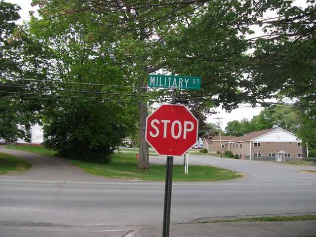
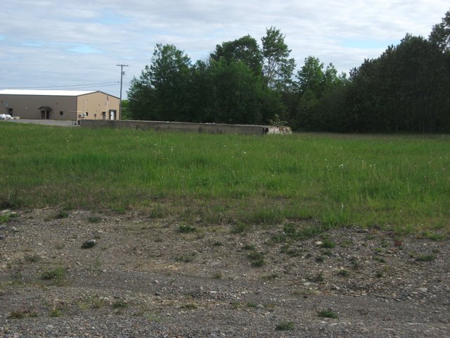
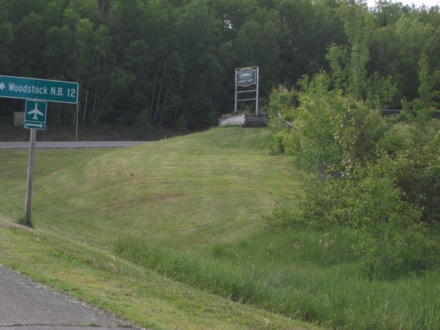
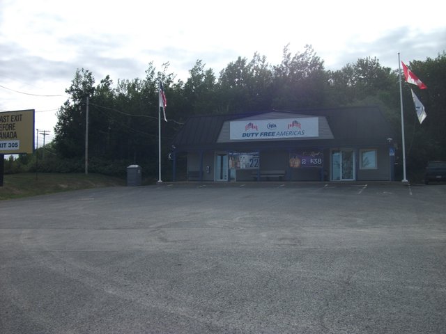
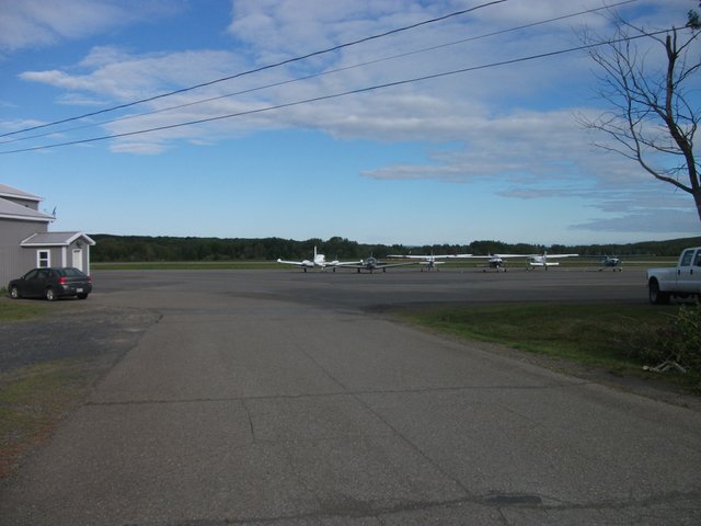
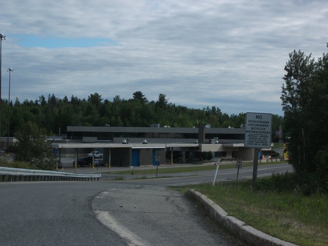
To this day, "Military Street" is one of the towns two main thoroughfares (the other being "the Calais Road" or Rt.1) and at the eastern end of this street is where the old barracks were set up, and where you can still see the foundation for one of the WW II German POW camp barracks that eventually replaced the 1830s variety. That's all out of town about two miles east near the border crossing and the somewhat comically-named "Houlton International Airport" (which could never handle any kind of international flight bigger than a Lear jet, and has no regular international flights at all--serving, instead, primarily as a U.S. Border Patrol facility and recreational flying center.) Below is the foundation of the WW II barracks, the "duty free" shop, the border crossing facility, and the airport.
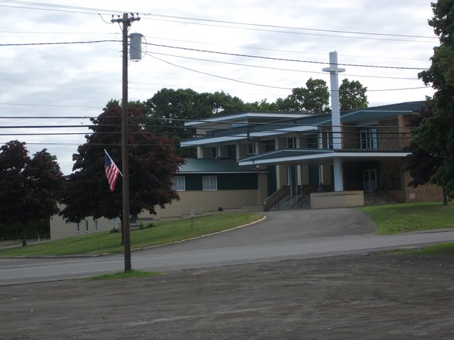
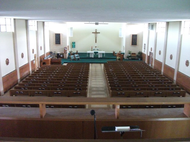
The oldest church in this town of about 25 churches (which is A LOT for a town this size, and about which I will eventually do another entry) is, as far as I know, the St. Mary of the Visitation Catholic Church. I happen to be the current resident musician (their only paid one, anyway...) and I play the piano and organ a minimum of twice a week (and far more times during Easter and Christmas seasons). Here is the church (the third built on this same stretch of ground along Military Street:)
That's it for Part I...lots more coming tomorrow... Stay tuned for all the other noteworthy stuff.. lots of stately old homes, the million-dollar footbridge, more history, etc.
where is everybody in Houlton, @mepatriot?
The closest to somebody being alive is the statue boy, "The Shire".
LOL...these were taken this morning at 7AM before I went in to play for the 8AM mass. Nobody was out and about much yet...
lol yeah I like the way @zorank said about the towns people. That's what you call a sleepy little small town on Sunday morning anyway.
Very interesting and interesting history, great looking church too.
and I like that statue.
those Canadians! like there aren't enough trees in Canada?
LOL...Yes, but the Queen of England still owns most of them.. True. It's called "crown land."
what the??? no way.
why don't they buy it back from her?
wow those Canadians! lol
The Queen of England is one of the three richest people on the planet. She still owns most of rural Canada, larges swathes of Australia, South Africa, New Zealand, Canada...etc.
It's not a question of "buying it back." The Crown of England has owned these lands for centuries, and only the aborigines (who were mostly nomadic) preceded them.
I wonder if they would sell it though? to the Canadian government
The Canadian government is even more in debt, per capita, than we are.
And besides, Great Britain IS the Canadian government.
what? Canada is a puppet of Brittain?
plus I thought we were the most indebted nation.
I just need to listen to you everyday. might learn somethin.
Do you know who is plastered all over their currency? That tells you who really controls a nation--whoever shows up on the currency. Also, do you know who the Governor-General of Canada is? Would an independent nation have a "Governor" anything? They also have a "Prime Minister." Ministers work FOR A MONARCHY. Canada has no monarchy of their own, so guess who he represents?