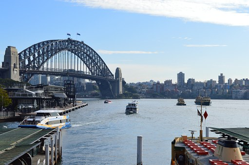
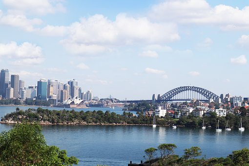
The southern end of the bridge is located at Dawes Point in The Rocks area, and the northern end at Milsons Point in the lower North Shore area.
There are six original lanes of road traffic through the main roadway, plus an additional two lanes of road traffic on its eastern side, using lanes that were formerly tram tracks.

Adjacent to the road traffic, a path for pedestrian use runs along the eastern side of the bridge, whilst a dedicated path for bicycle use only runs along the western side; between the main roadway and the western bicycle path are two lanes used for railway tracks, servicing the T1 North Shore Line for Sydney Trains.
The main roadway across the bridge is known as the Bradfield Highway and is about 2.4 km (1.5 mi) long, making it one of the shortest highways in Australia.