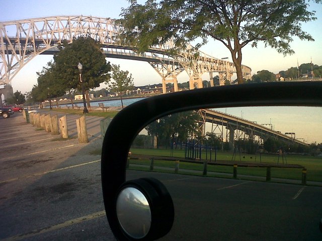
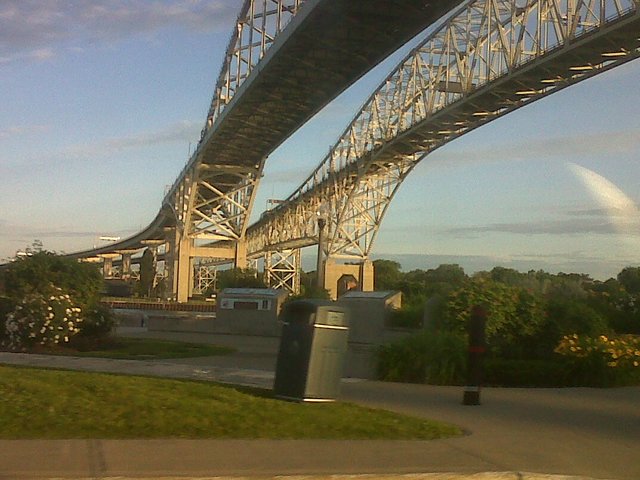
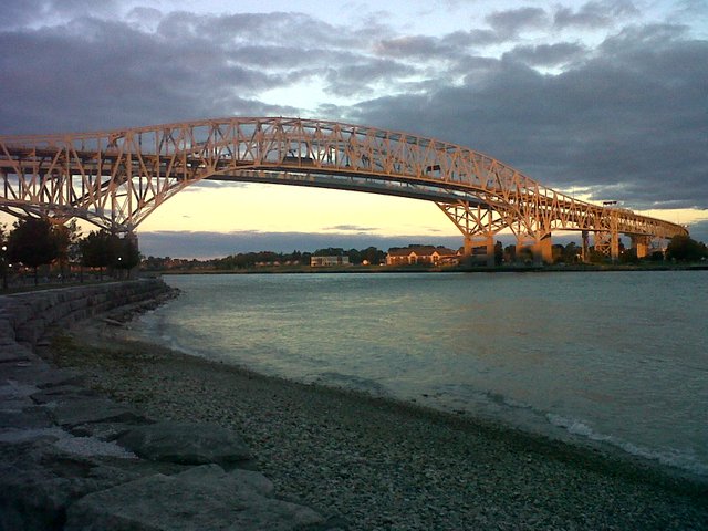
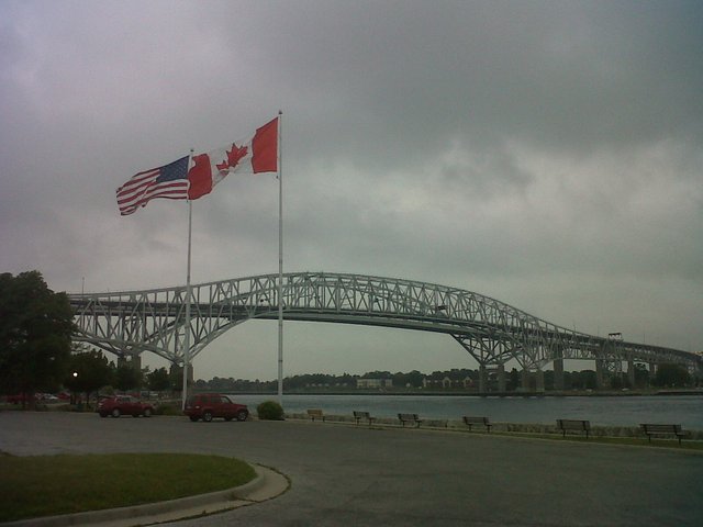
The Blue Water Bridge, Sarnia, Ontario, Canada
The Blue Water Bridge,
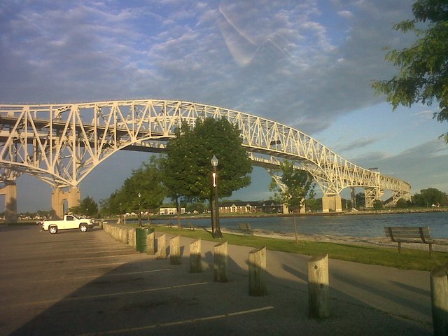
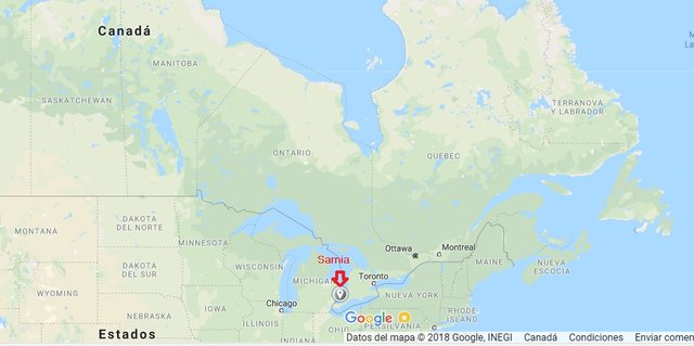
Are located in Sarnia, a city at the south-west of Ontario, Canada, close with the border of the United States.
 @google
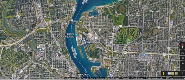
Those two bridges that are located at the end of the H-402 Highway in Canada, at the south-west of Ontario, and are connected with east of the Highway's I-69 / I-94 at Port Huron, Michigan, USA.
 @google
They were built over the St. Clair River, the first one on 1938 and the second was on 1970 and Both has approximate 1.9 km. of length and It is a joint property and maintenance between Canada and the United States.
If you want cross both bridges, you must be pay toll in both directions and the money will be use to pay the maintenance and operations of the both.
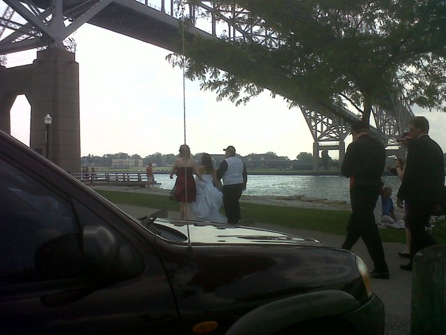
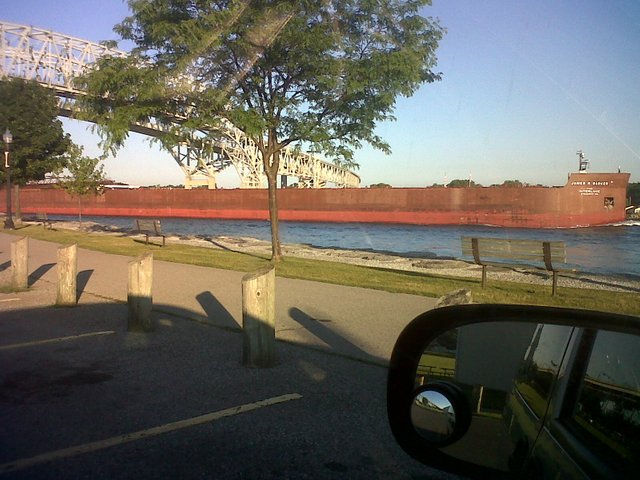
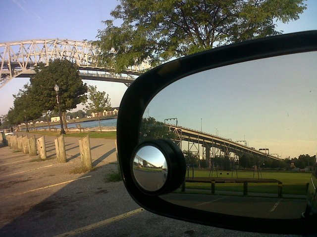
The area below the bridge, provide recreational and tourist areas for all the residents of Sarnia.
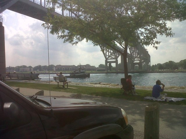
In addition, below the bridges can be seen the passage of large ships between March to November and go through the river St. Clair
These are two great engineering works and a place to visit if you come to Sarnia
En Español:
El puente Azul de Sarnia,
El puente de aguas azules de Sarnia, es la vía de unión Canadá y los Estados Unidos.
Sarnia es una Ciudad de Canadá ubicada al Sur-oeste de la provincia de Ontario que esta próxima al limite con los Estados Unidos.
Es aquí en Sarnia donde se encuentran al final de la autopista H-402 de Canadá, al sur oeste de Ontario y se conecta con las highway I-69/ I-94 en Port Huron, Estado de Michigan, USA.
Fueron construidos sobre el St. Clair River el primero en 1938 y el segundo en 1970 y tienen una longitud aproximada de 1.9 Km. Es una propiedad mancomunada entre de Canadá y los Estados Unidos.
El peaje que se cobra en ambos puentes, se usa para pagar el mantenimiento y las operaciones de los mismos.
Tanto en Canadá como en USA, el área de los apoyos de los puentes, son zonas de recreación y esparcimiento de los vecinos de Sarnia
Además, por debajo de los puentes, se pueden observar el paso de barcos de gran tamaño que navegan por el río St. Clair entre marzo hasta noviembre de cada año
Estos son dos grandes obras de Ingeniería y lugar obligado de visita si vienes a Sarnia
If you donate 1 SBD or STEEM to @a-0-0 I will resteem your last post to over 72,500 followers on my 2 accounts @a-0-0 and @a-a-a
Number 3 is a nice pic.
Thanks Treble, I have more maybe I will show on part II.