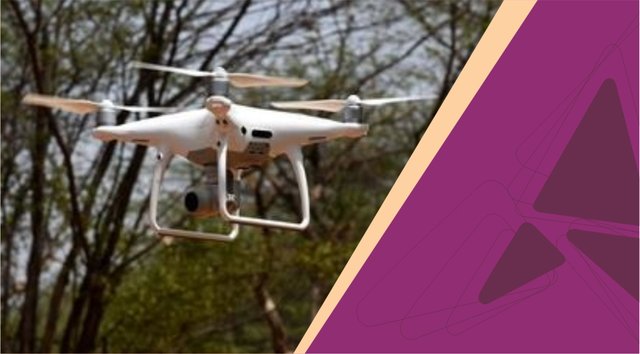
Forest Department To Carry Out Drone Mapping In 4 Villages
Recently, the forest department has picked four Aravali villages to carry out drone mapping and check encroachments. “We want to kick-start drone mapping from the villages of Sakatpur, Raisina, Gairatpur Bas and Roj Ka Gujjar. This will make it easier for us to analyse how much area has been encroached upon. The mapping will take about a month, after which we’ll take another 10-20 days to analyse the data,” said Vinod Kumar, Chief conservator of forest, Gurugram.

The reason behind selection of these villages is that they have massive forest cover which is rich in wildlife. And, according to the sources, the department is hopeful that the mapping will eventually help bring down man-animal conflicts in these villages.
“As drone images can be zoomed in, any violation, encroachment or tree cutting, can be tracked easily. These visuals can also be used as evidence,” added Kumar. On 24th of May, forest minister Rao Narbir Singh formally launched two drones- a basic drone and an industrial one, that’ll be used by the forest department.
Source: https://bit.ly/2HQQsBc