Major River Systems in India - Part 2.
The Narmada River System :
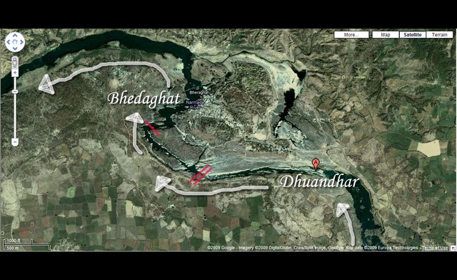
Image source
The Narmada river is the 5th longest river in Indian subcontinent. It is also called as the Rewa. Narmada means "the Giver of pleasure" It rises from Amarkantak Plateau and drains into Arabian sea. It flows through the states of Madhya Pradesh and Maharashtra. Its approximate length is 1312 km. It contributes to Madhya Pradesh in many ways that's why it is called as "Life Line of Madhya Pradesh". Narmada's left tributaries include Dudhi River, Tawa River, Ganjal River, Burhner River, Banjar River, Sher River, Shakkar River, Chhota Tawa River, Kaveri River, Kundi River and Goi River, while right tributaries include Man River, Uri River, Hatni River, Orsang River, Hiran River, Tendoni River, Choral River and Kolar River.
Narmada believed as a holy river. It is believed that one who bathe in Narmada cleanses sins committed throughout his life. That's why people have polluted the river by bathing in it. Likewise other six rivers including Ganges, Yamuna, Godavari, Sarasvati, Sindhu and Kaveri are also considered the same way.
The Yamuna River System :
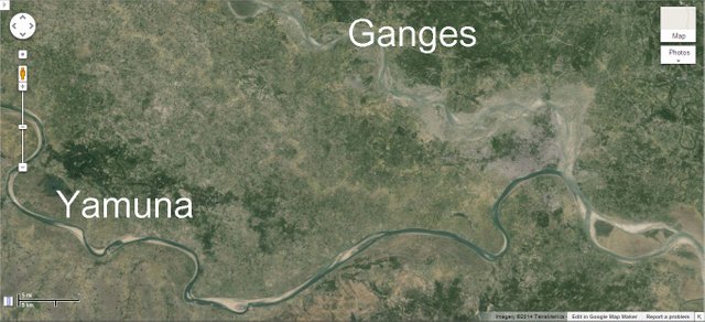
Image source
The yamuna is the 2nd largest tributaries of the Ganges river. Its total length is 1,376 km. It rises from the Yamunotri Glacier and merges with Ganges at Triveni sangam. It flows through Uttarakhand, Himachal Pradesh, Haryana and Uttar Pradesh. Yamuna is also called as Jumna, not to be mistaken with Jamuna. It has 366,223 square kilometers of drainage system. Yamuna's left tributaries include Rishiganga, Hanuman Ganga, Sasur Khaderi, Hindon, Sharda and Giri, while right tributaries include Betwa, Sindh, Ken Chambal and Tons.
According to Hindu mythology, Yamuna is the daughter of Sun God, Surya, and the sister of God of death, Yama. It is believed that one who takes bath in its sacred water frees the physical and mental suffering of death.
The Godavari River System :
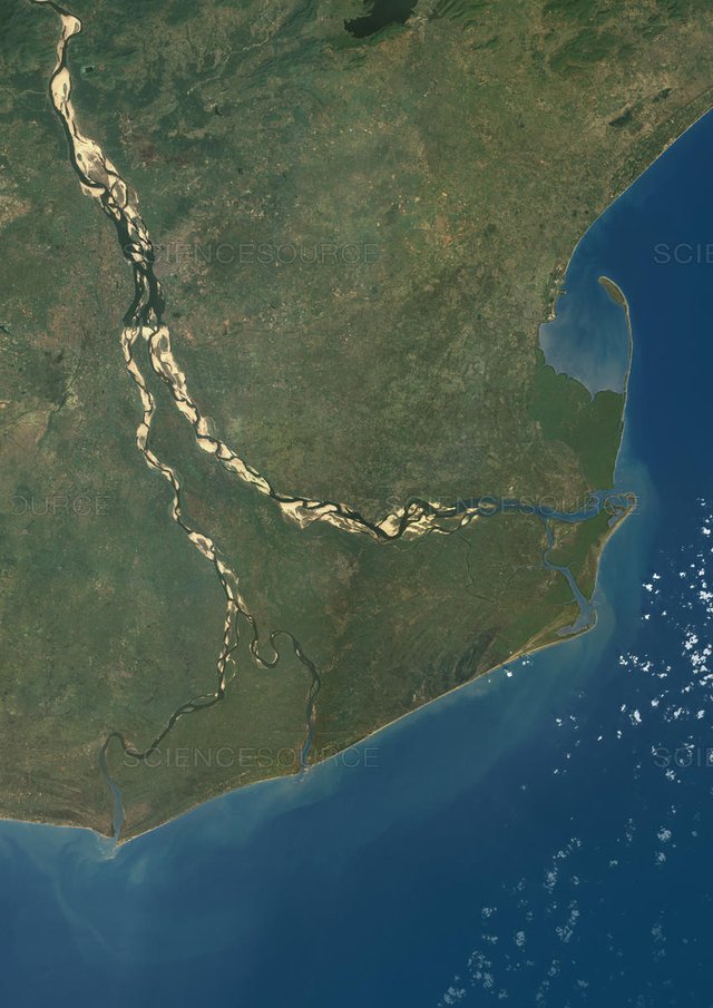
Image source
2nd longest river in India is Godavari. It rises in the western Ghats of central India and ends into the Bay of Bengal. It has 312812 km square of coverage area. There's a fact that If we put England and Ireland together, still there will be space remaining in the coverage area of the Godavari. It is almost one tenth of the coverage area of India. One of the tributary, Gautami, is known as Godavari's sister. Other tributaries are Purna, Pranhita, Indravati, Pravara, Manjira and Manair. Out of these, Pranhita is the largest one. Like some rivers in India, Godavari also has relation with Lord Shiva. This river is sacred to Hindus.
Sources :
https://en.m.wikipedia.org/wiki/Godavari_River
https://en.m.wikipedia.org/wiki/Narmada_River
https://en.m.wikipedia.org/wiki/Yamuna
You received a 60.0% upvote since you are a member of geopolis.
To read more about us and what we do, click here.
https://steemit.com/geopolis/@geopolis/geopolis-the-community-for-global-sciences-update-3
If you do not want us to upvote and comment on your posts concerning earth and earth sciences, please reply stop to this comment and we will no longer bother you with our love ❤️