BLUE SKIES AND MOUNTAINS - HOW TO CATCH A CLOUD INVERSION
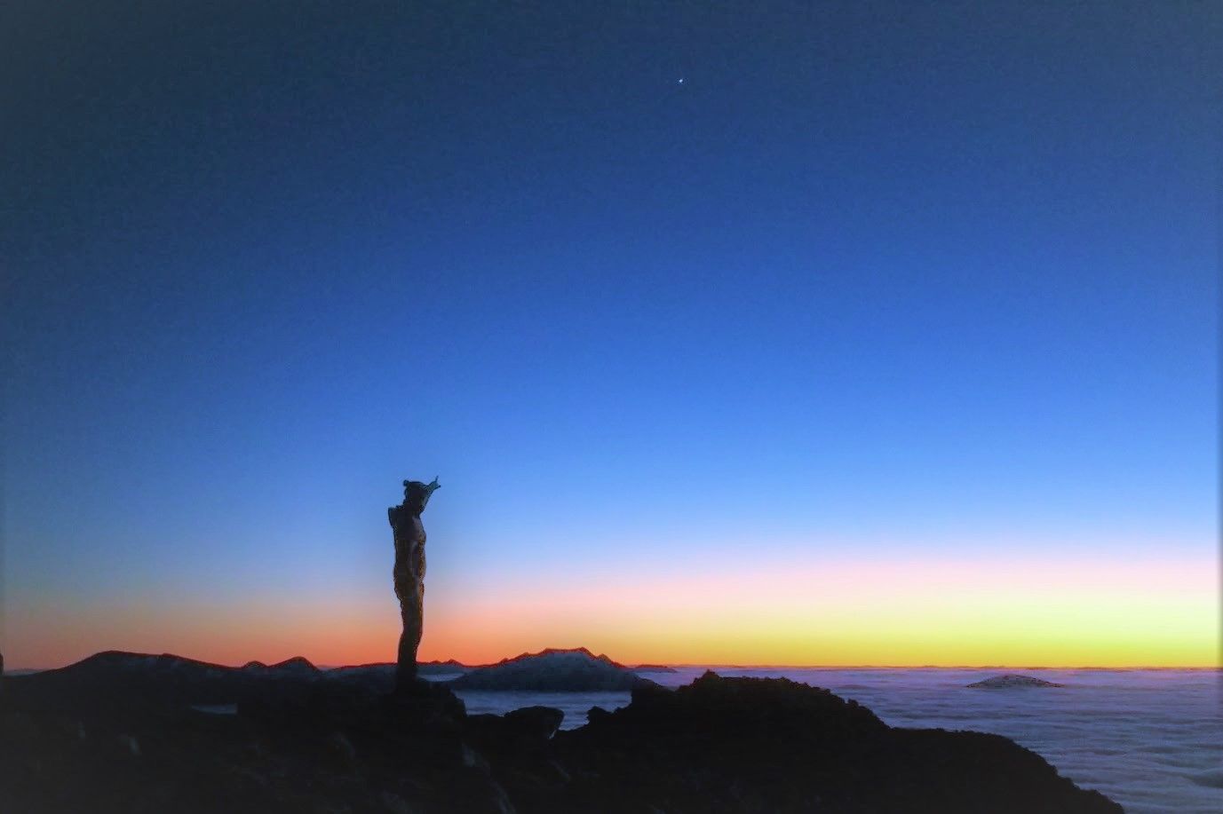
Fellow steemians, of all the weather phenomena seen in the hills, a cloud inversion is perhaps the most breathtaking. Your day may have started in the dense, dank clag of the valley. Cloud inversions may be most common in autumn and winter, but they are still elusive, requiring quite specific conditions to form.
Temperature inversion
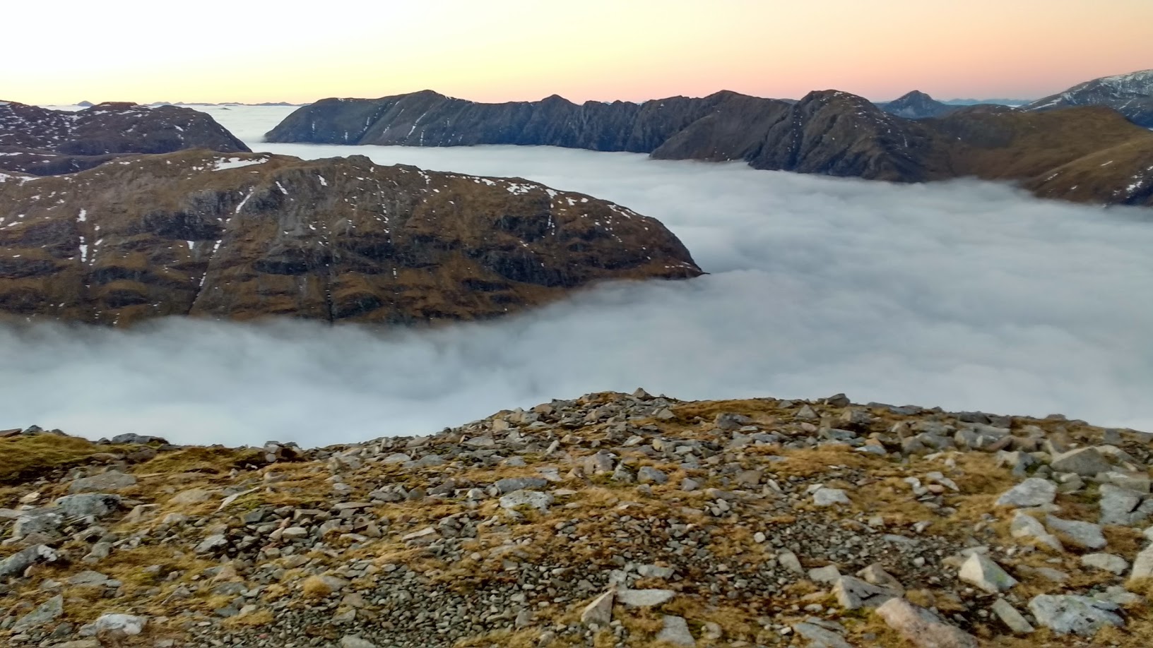
In normal daytime conditions the sun warms the ground, and the ground warms the air. As you gain height, walking uphill for instance, the air temperature will tend to drop. But sometimes this standard temperature gradient can be reversed, with colder air low down in the valleys trapped beneath a capping layer of warmer air that sits on the hill tops. With luck the colder layer will be full of fog or cloud - the magic cloud inversion. If you're hoping to catch that special combination of low level cloud and high level sunshine, it pays to have a basic understanding of how it all works:
High pressure
High pressure weather systems - known as anticyclones - bring long periods of stable weather, typically with little wind to break up any cloud. With the long nights and comparatively weak sunshine of late autumn and winter the ground cools, and so too the air at low levels. If the wind brings sufficient moisture off the sea into the weather system it can condense as cloud in the colder air layer. When this colder air is trapped low down by a cap of warmer air the cloud may linger for days. Depending on the height at which the inversion occurs, hilltops might poke free into the clear air above. If you're watching the weather charts look out for high pressure systems, which appear as a series of widely spaced concentric rings, or isobars, of 1000mbs and more.
Cold air sinks
On clear, calm nights colder air flows downhill to end up sitting in valley bottoms. As air cools it becomes saturated, the moisture condensing into cloud. Come morning there may be a cold winter fog down in the valley, but climb a few hundred metres and you could - with luck - find yourself above it.
However in practise forecasting all this isn't simple:
'Generally it is in the winter half of the year when inversions descend onto the Scottish mountains so that higher tops are warmer than lower slopes above a haze or low cloud/fog layer'
Local mountain forcasting can sometimes highlight the chance to observe an inversion.
Thank you for reading the post, if you enjoyed please upvote and share.
Very nice work.
Thanks for sharing