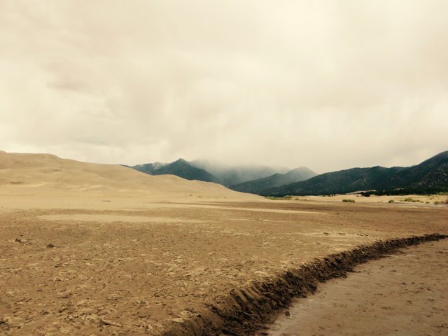
Great Sand Dunes, my home away from home
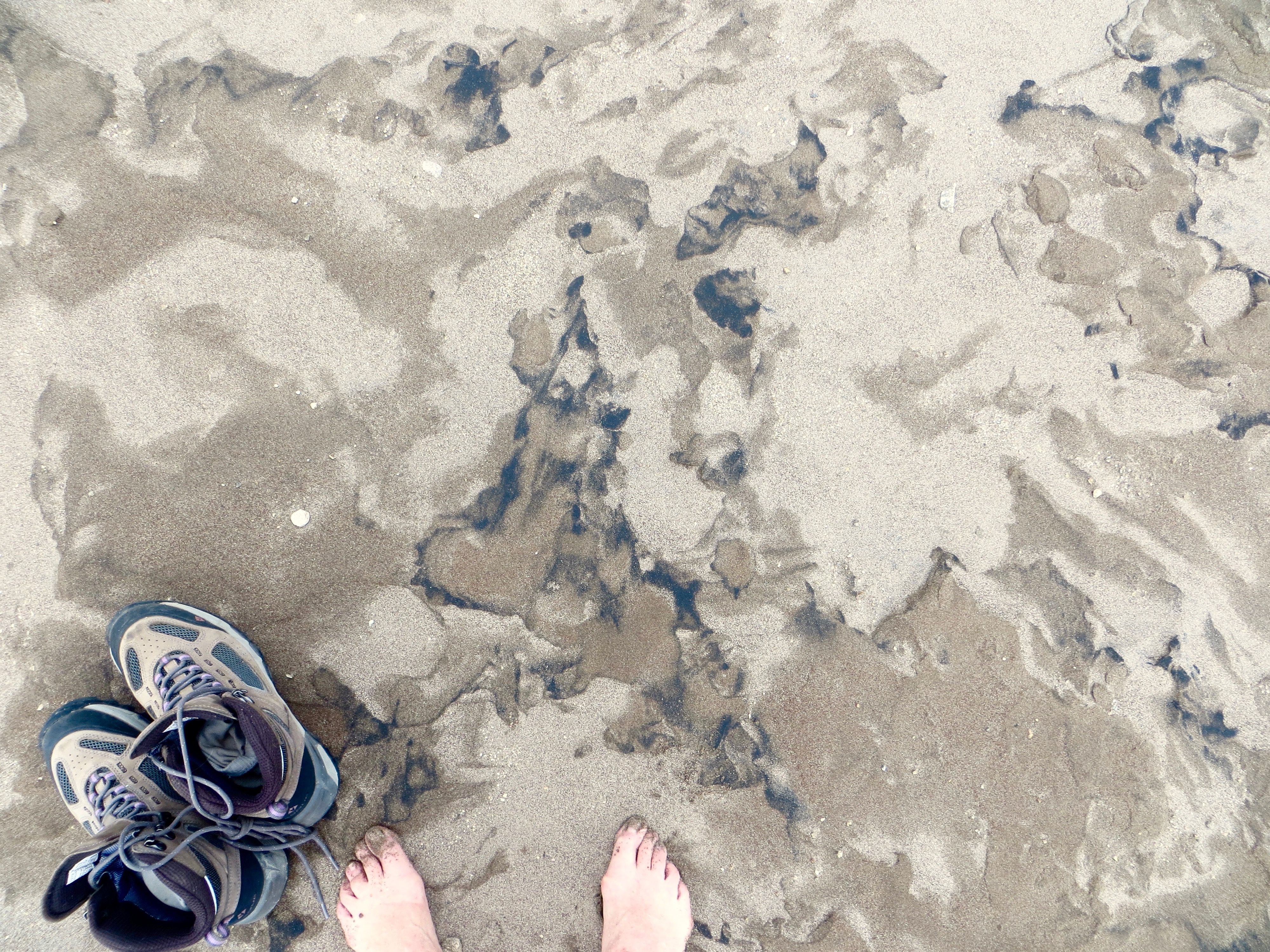
Mendano Creek is at peak now. When you walk on shallow Medano Creek at the base of the dunes, you are walking on water that extends deep below the surface. The dunes sit on top of an aquifer that extends up to a mile below the valley floor. Streams flow on top of the high water table, and most wetlands here are actually the visible top of the aquifer, where it fills in the lowest depressions in the dunes and valley floor. Recharged each year by stream runoff from the mountains, the aquifer is two–layered, with an unconfined upper layer and a deeper layer largely confined by seams of blue clay. Instead of flowing into rivers that eventually reach the ocean, streams flow on the valley surface, then sink down through the sandy soil, primarily into the unconfined aquifer. Because of these "disappearing" streams, and long underground faults around the aquifer, water in the northern half of the San Luis Valley is trapped into a closed basin. The dunes rise at the eastern edge of the basin, at the base of the Sangre de Cristo Mountains. This dramatic setting is the foundation of the massive dunes and their hydrological system, from mountain peaks to verdant wetlands.
AS mentioned before, I am the 2017 Artist in Residence at the Great Sand Dunes National Park. My home sweet second home.