Pix4dcapture - turns your consumer drone into a professional mapping tool
Pix4dcapture
turns your consumer drone into a professional mapping tool
Screenshots
Hunter's comment
Do you want to use your drones more productively? Pix4Dcapture can be the answer. This app converts your drones into a professional unmanned aerial mapping tool.
The drone's camera automatically captures the thermal image data of RGB to capture the best 3D model and map.
This RGB thermal image data can also be used for agriculture. Professional agricultural dragon parrot Bluegrass that I introduced before also supports Pix4Dcapture.
Here are the drones that support this app
Phantom 4 Pro
Phantom 4
Mavic Pro
Matrice 200
Matrice 210
Matrice 210 RTK
Inspire 2
Inspire 1 (Pro)
Phantom 3 Professional
Phantom 3 Advanced
Phantom 3 Standard
Matrice 100
Spark
Bebop 2 with Skycontroller 2
Bluegrass
H520 with E90 camera
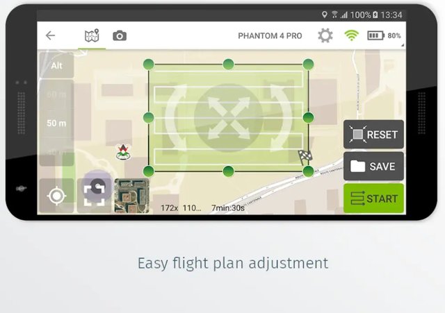
In addition to getting infrared data, this app also allows remote control by setting zones and setting travel routes. This means that there are many ways to use it besides agriculture and 3D mapping ..!
Link
https://pix4d.com/product/pix4dcapture
Contributors
Hunter: @sunsu

This is posted on Steemhunt - A place where you can dig products and earn STEEM.
View on Steemhunt.com
There is a 2 Hunt Limit Per day, come have a chat on Steemhunt’s Discord
농사를 위해 특화된 것처럼 보이지만 잘만 이용하면 촬영할 때도 사용할 정도로 범용성이 좋은 앱으로 보이네요.
Here is my review on this hunt:
PROS:
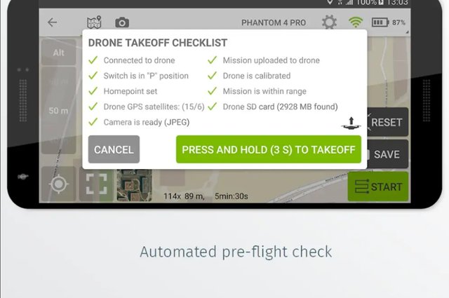
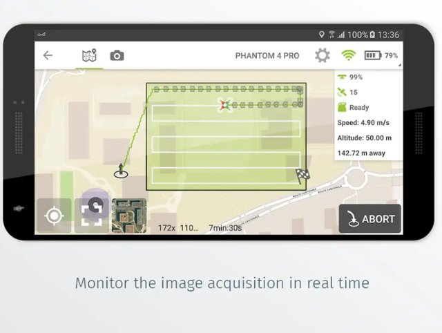
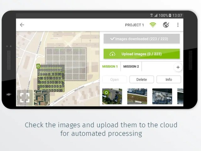
-allows you to create flight plans for capturing image data
-Post-flight, easily produce georeferenced maps and models in Pix4D desktop or cloud software
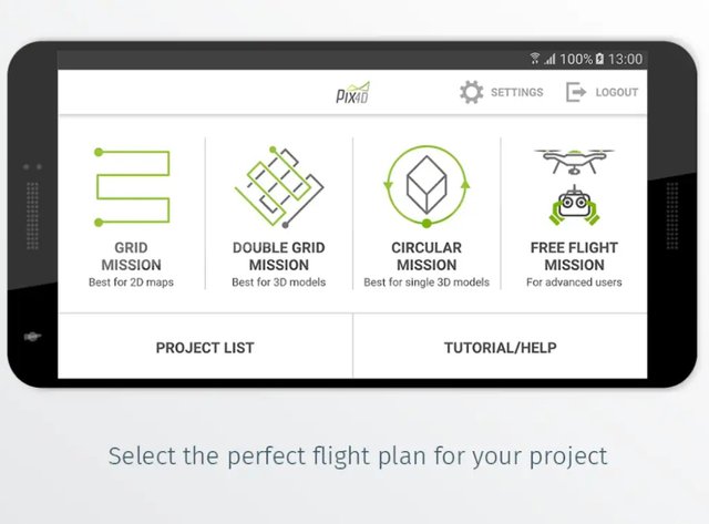
-comes with 5 different missions providing the needed flexibility for your projects.
-Easily define the size of a mission to map areas of all sizes
CONS :
No cons I can think of.
Congratulation! Your hunt was ranked in 39th place on 14 Jun 2018 on Steemhunt.
We have upvoted your post for your contribution within our community.
Thanks again and look forward to seeing your next hunt!
Want to chat? Join us on: