One of the Cultural Heritage of the Kingdom of Aceh Darussalam
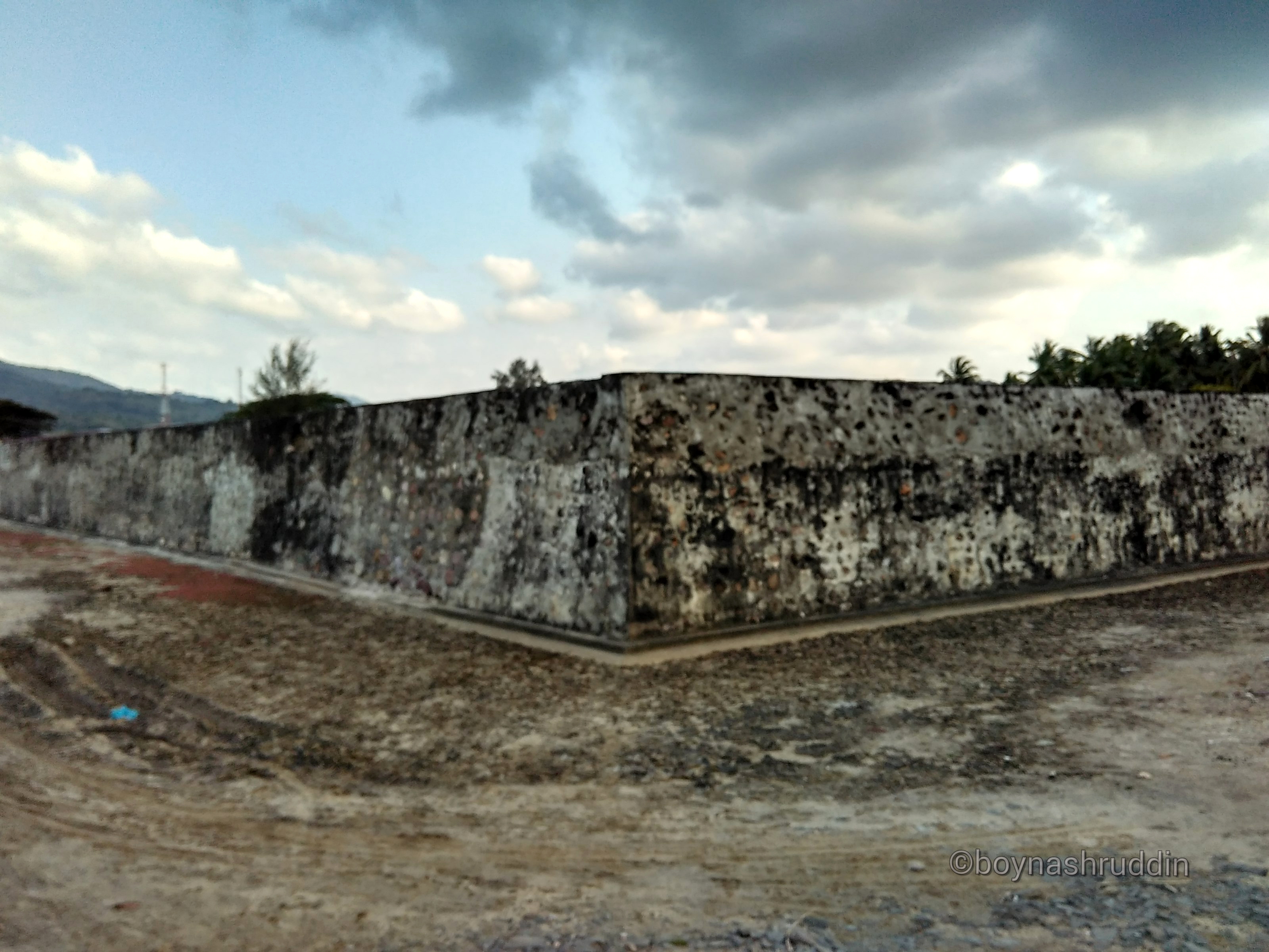
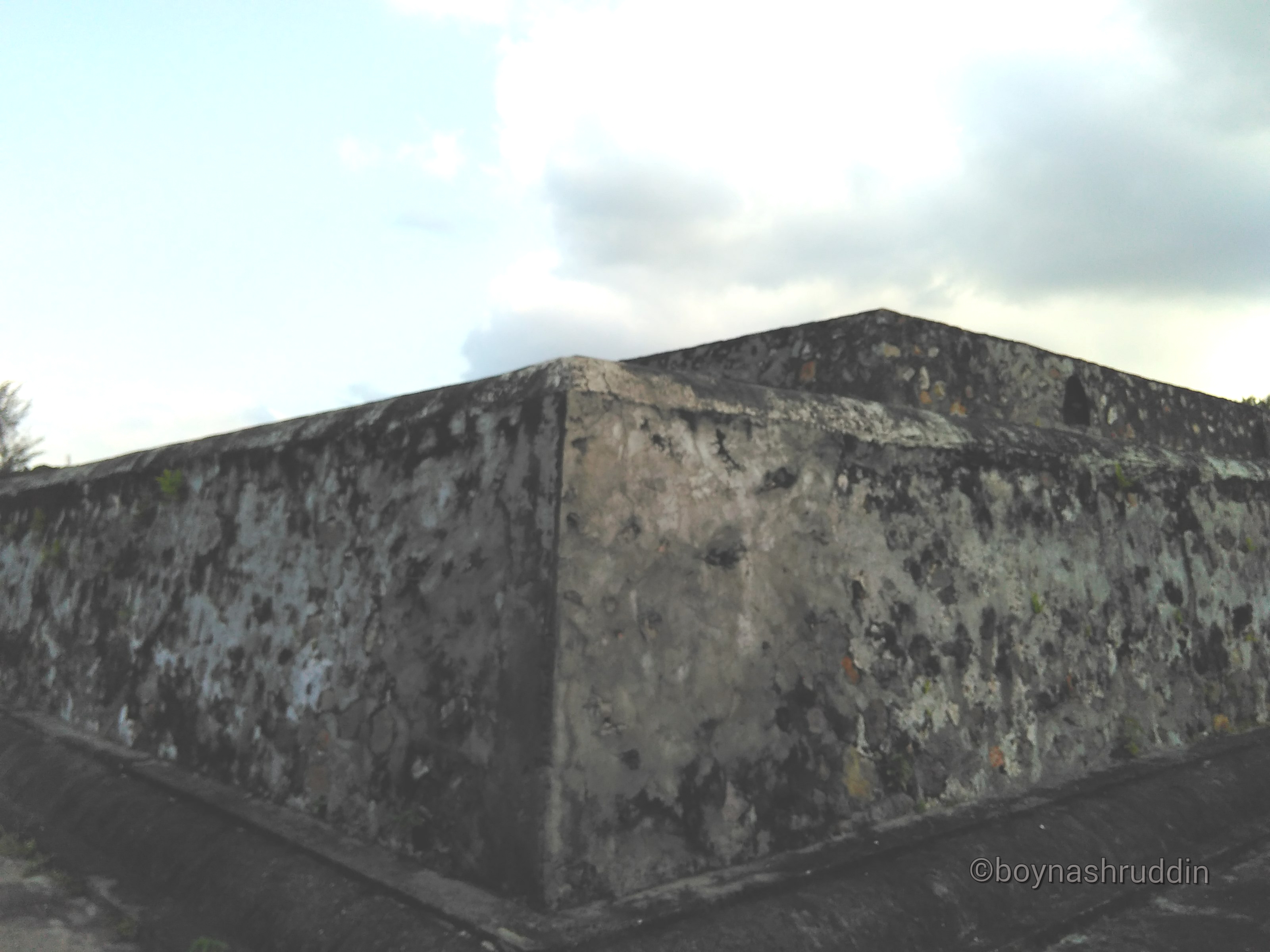
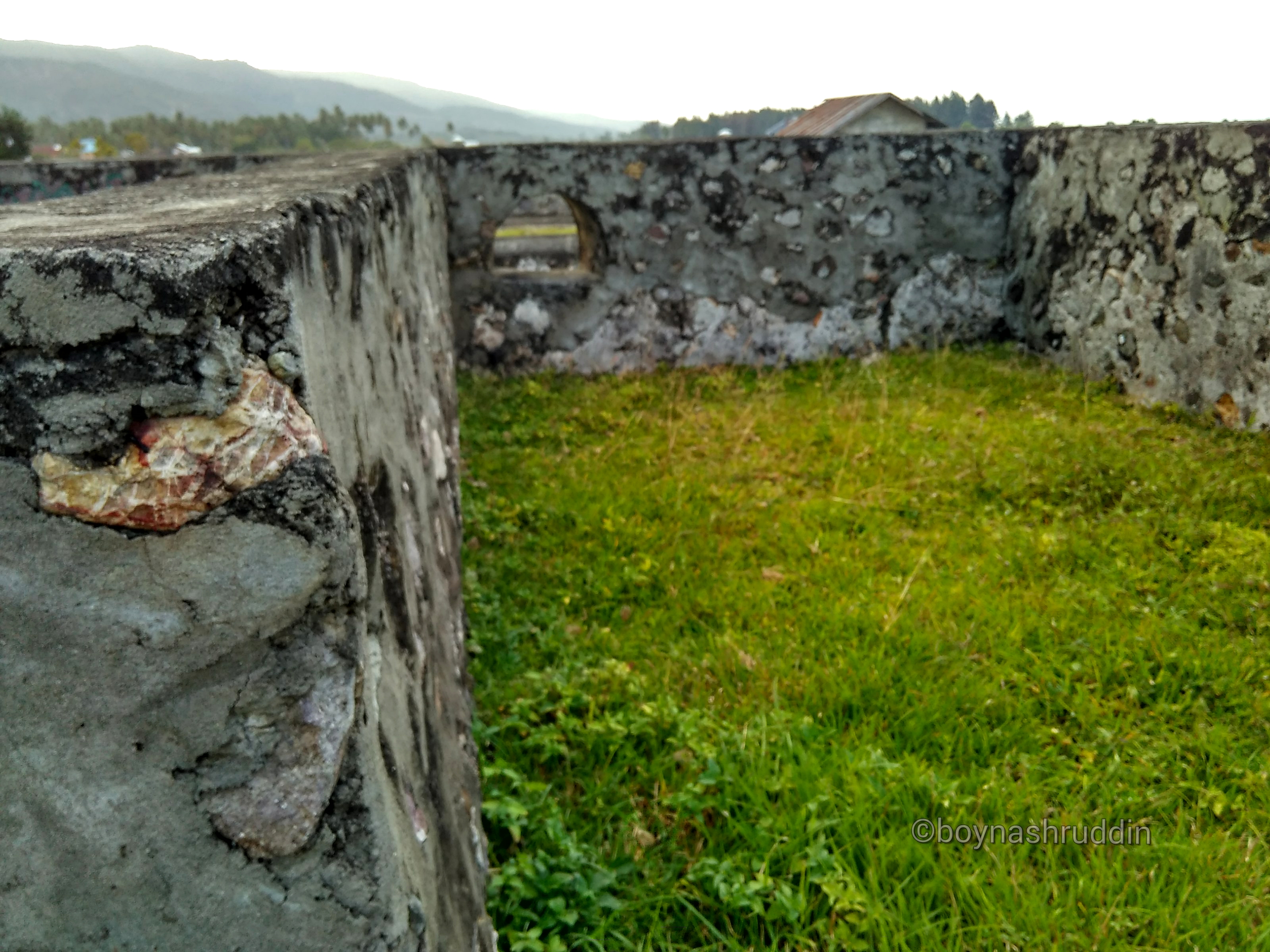
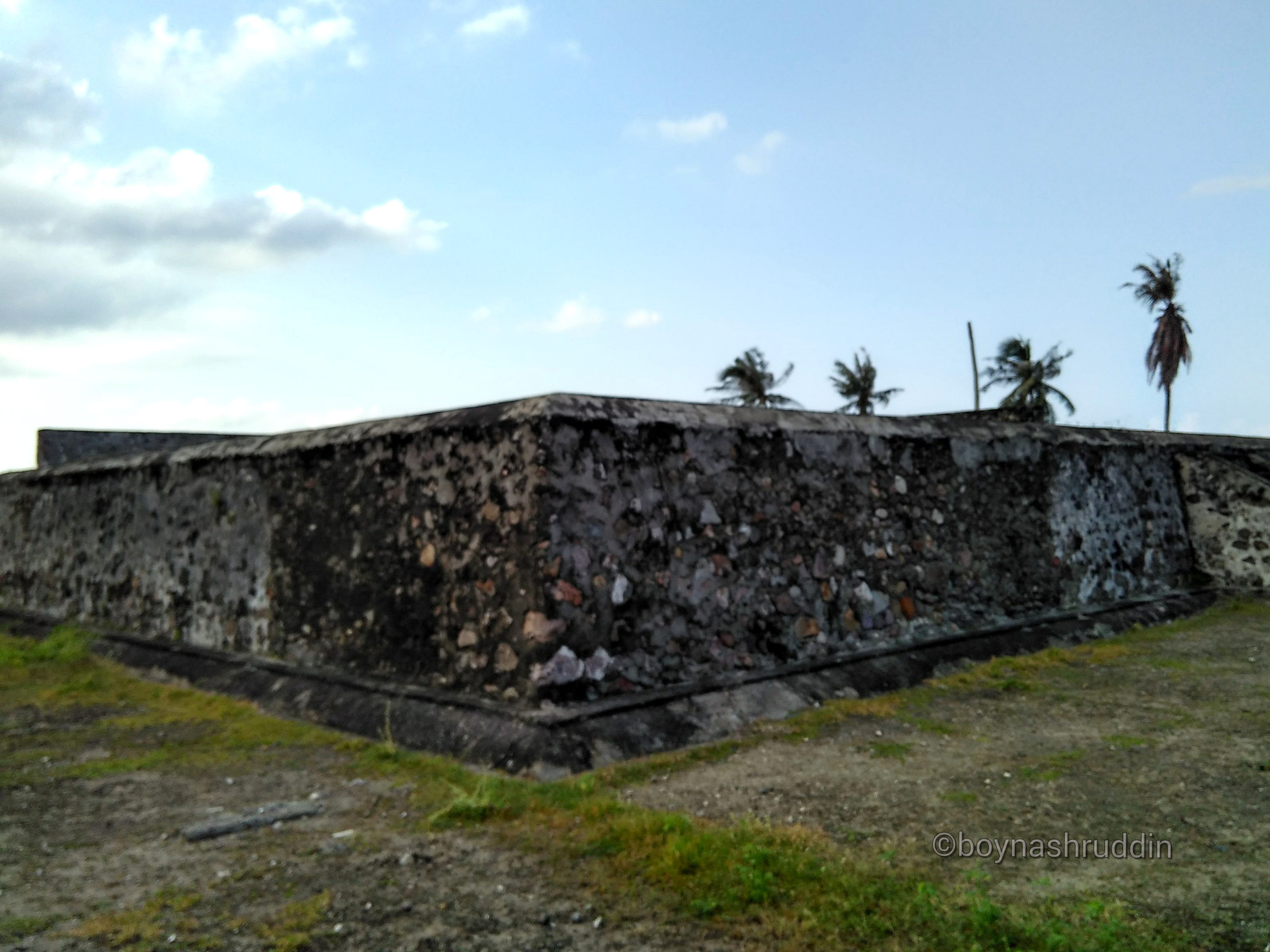
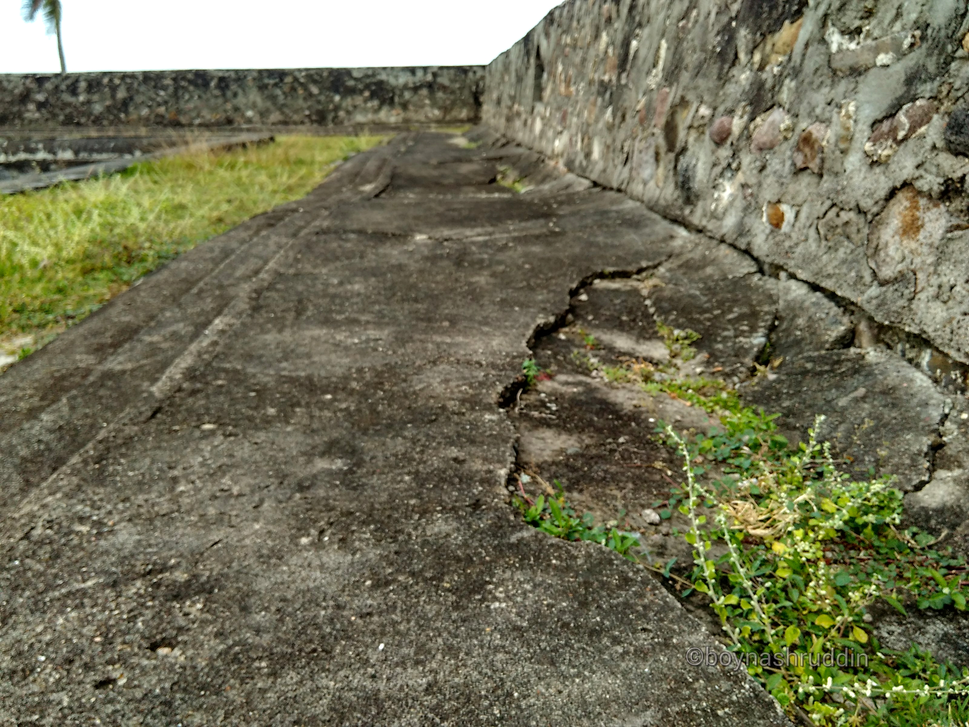
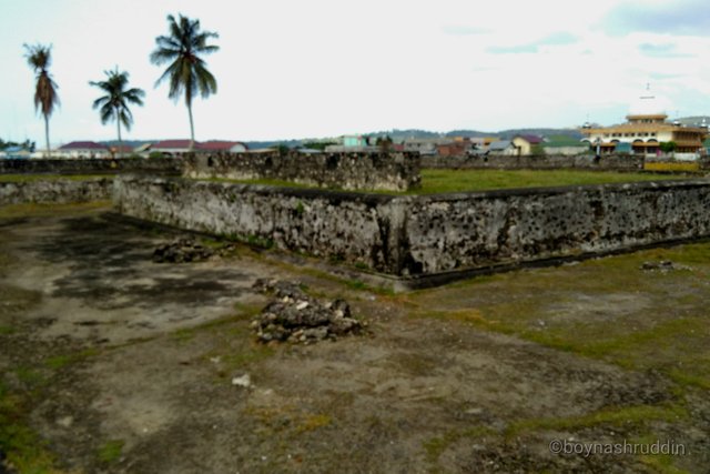
The stacked stones nailed together with the clamshell, now no longer look perfect. There is an old concrete section that has been touched by modern concrete-making patterns. Understand it, precisely December 26, 2004 and then, a few stones which later called Iskandar Muda fort this was damaged by the tsunami disaster. The local authorities then fix it, so the structure of the cultural heritage now no longer looks like its original form.
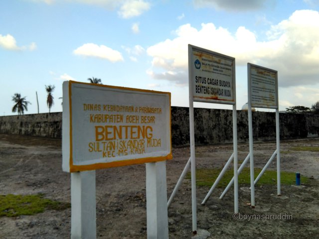
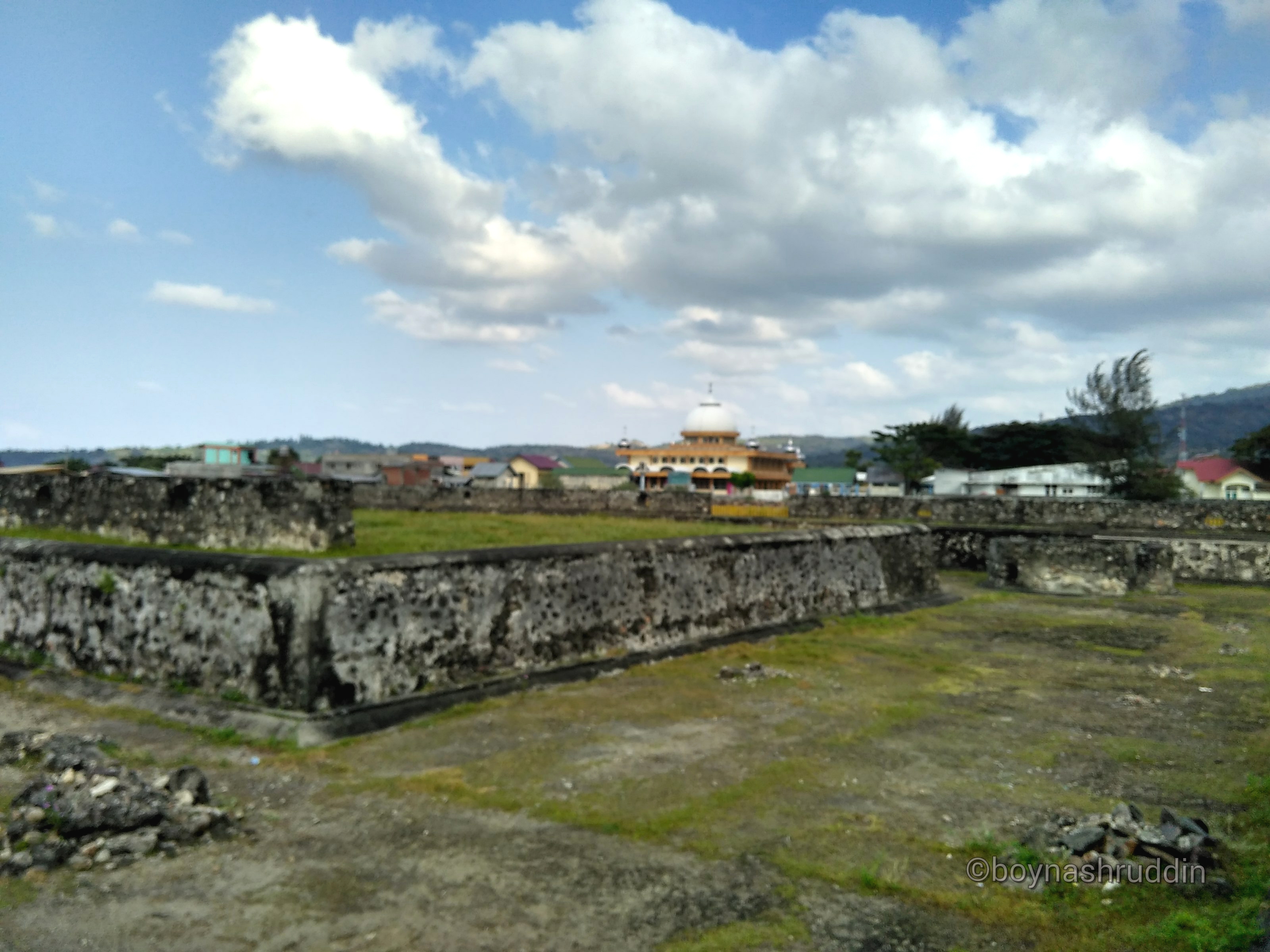
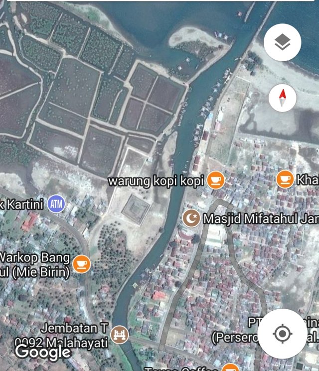
Citadel that was mentioned built the era of the kingdom of Aceh Darussalam is located on the lips of the Straits of Malacca. Precisely in Masjid Raya district, which is more familiar called Krueng Raya. The location of the fort is not far from the port of Malahayati, and is subordinate to the administrative district of Aceh Besar.
If you refer to the google map page, you will find this rectangular fort site in coordinates 5.592147,95.511860. Satellite imagery displayed by google map also shows clearly the shape of a fortress located on the side of a small river channel, and mosque Miftahul Jannah.
Not many sources of reference that describes the site of this fortress of Sultan Iskandar Muda. But from my short trip to the location, I suspect this site is almost an age with Indrapatra fortress located 7.8 kilometers to the west on the same coast.
Based on the results of my interview some time ago with young archaeologist, Dedi Satria, known fortress Indrapatra is a European cultural heritage.
Seen from the shape of a structure equipped with two vaulted wells and having a groove around the fortress, Indrapatra is identified closely with Ottoman Turkish culture. I have written three titles about Indrapatra fort which I have also published at steemit. (Read: Evidence of Aceh-Turkish Relations Part I, then Evidence of Aceh-Turkish Relations Part II, and Evidence of Aceh-Turkish Relations Part III).
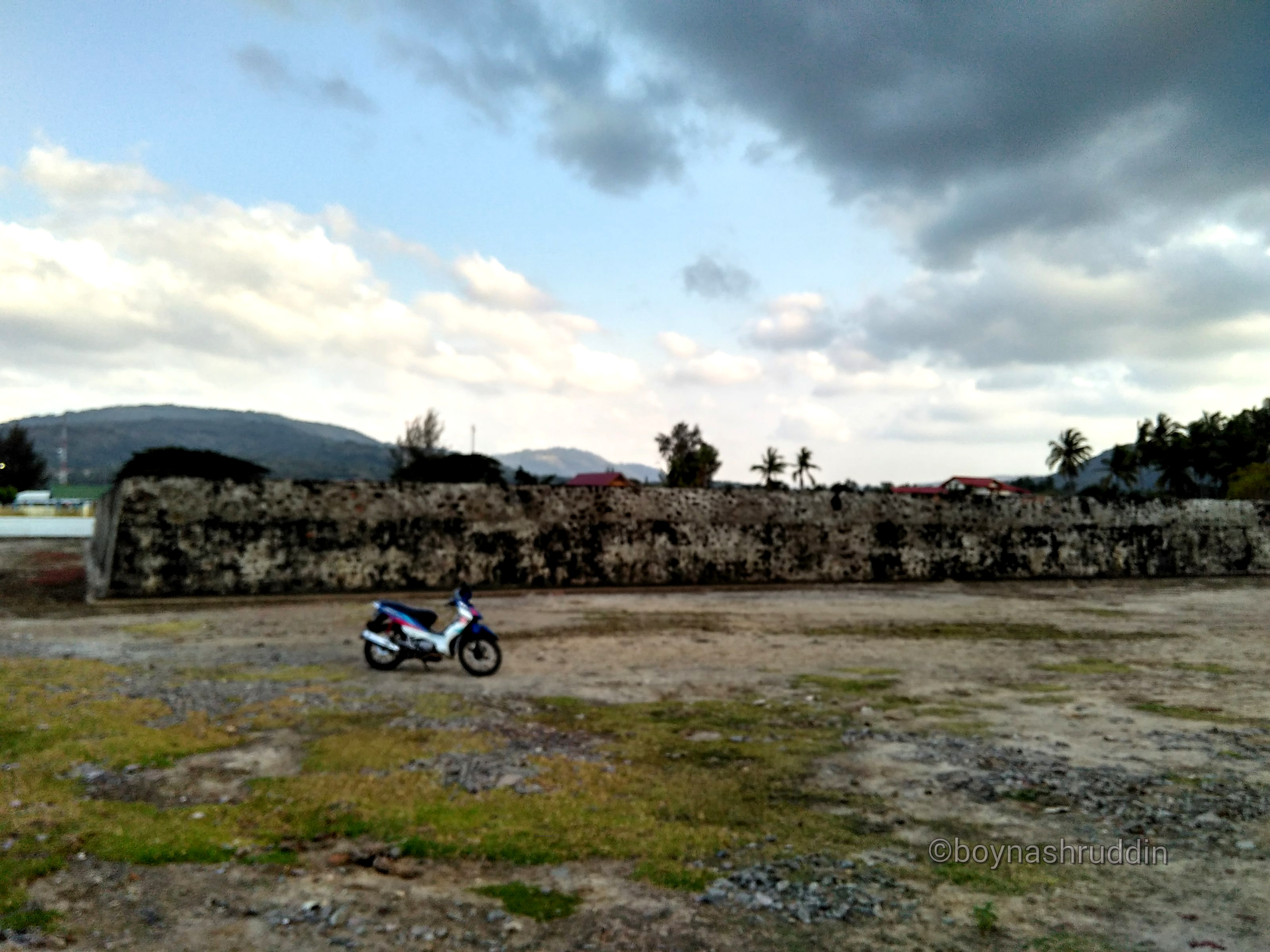
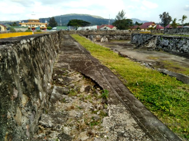
Sultan Iskandar Muda Fort is seen from the outside:
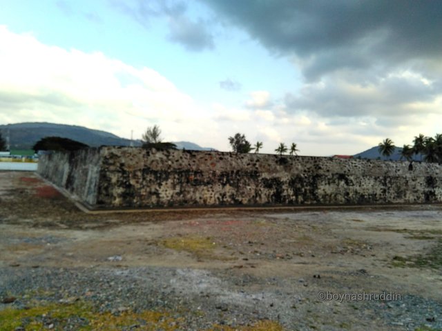
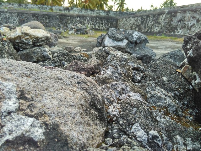
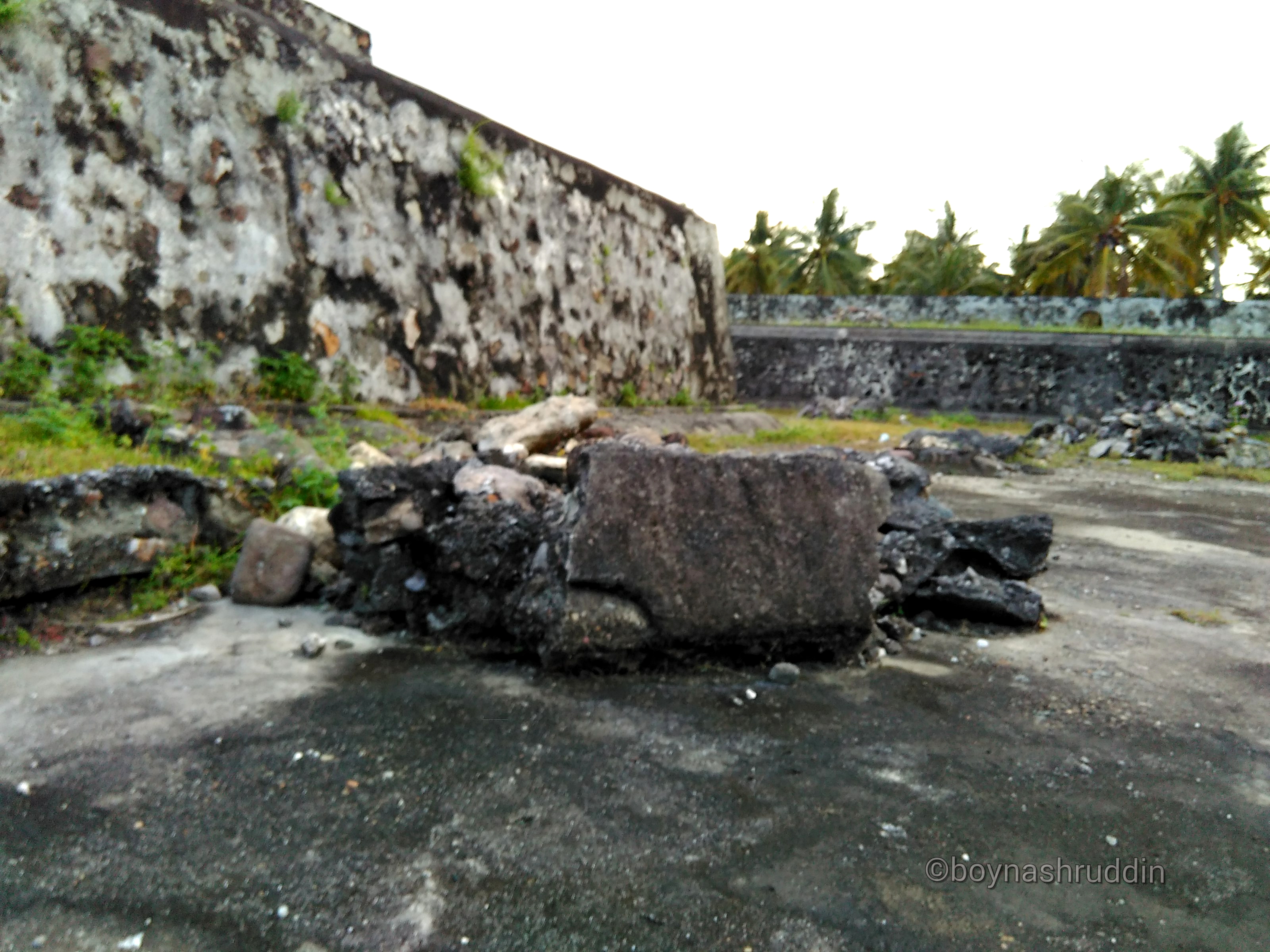
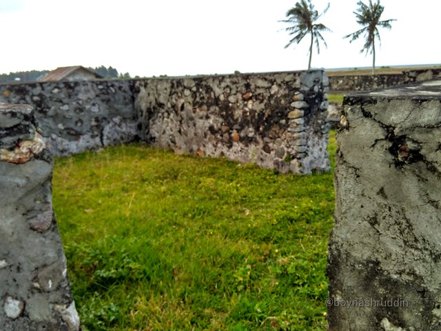
Debris of building allegedly damaged by the tsunami:
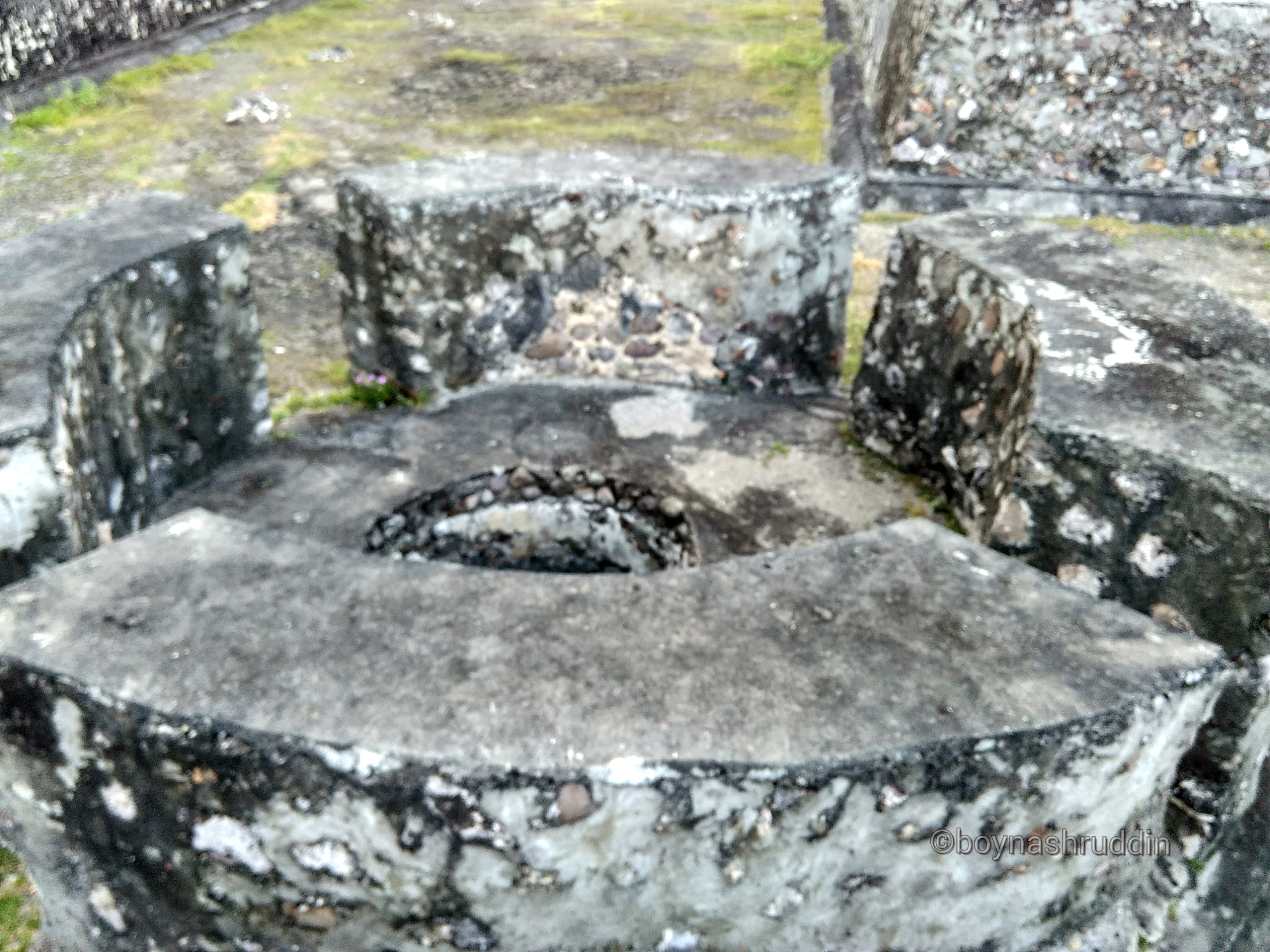
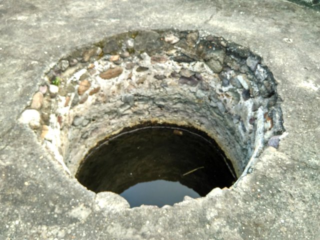
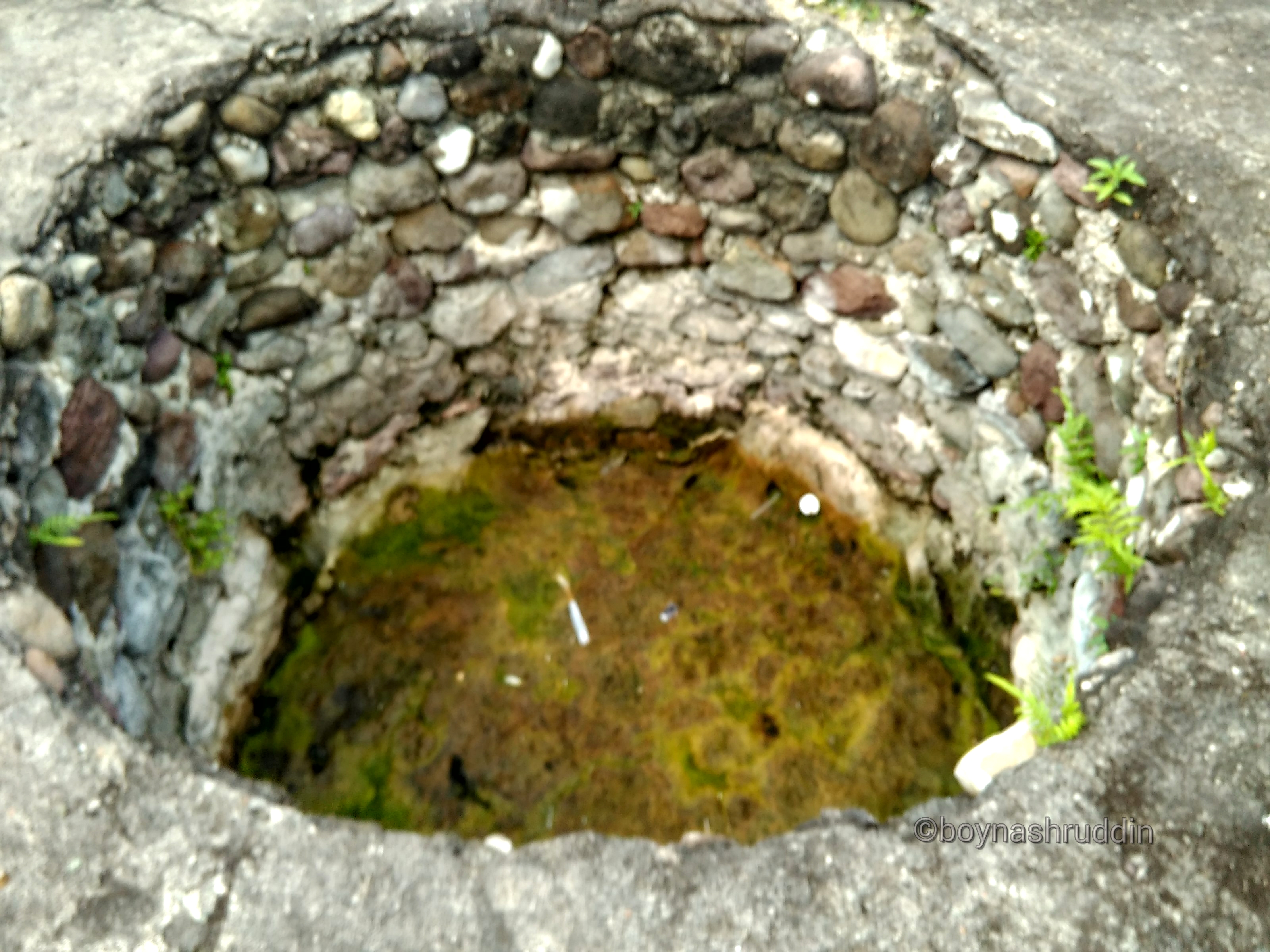
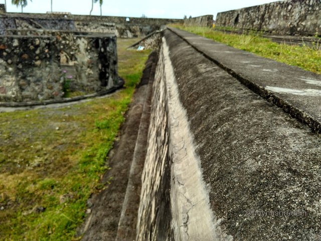
Similar to the fortress Indrapatra, Sultan Iskandar Muda fortress structure is also equipped with two well units within the site complex. But the difference is that the wells in Sultan Iskandar Muda fortress are not equipped with domes. I do not know, if that's true the tsunami is who destroyed the two dome in the wells.
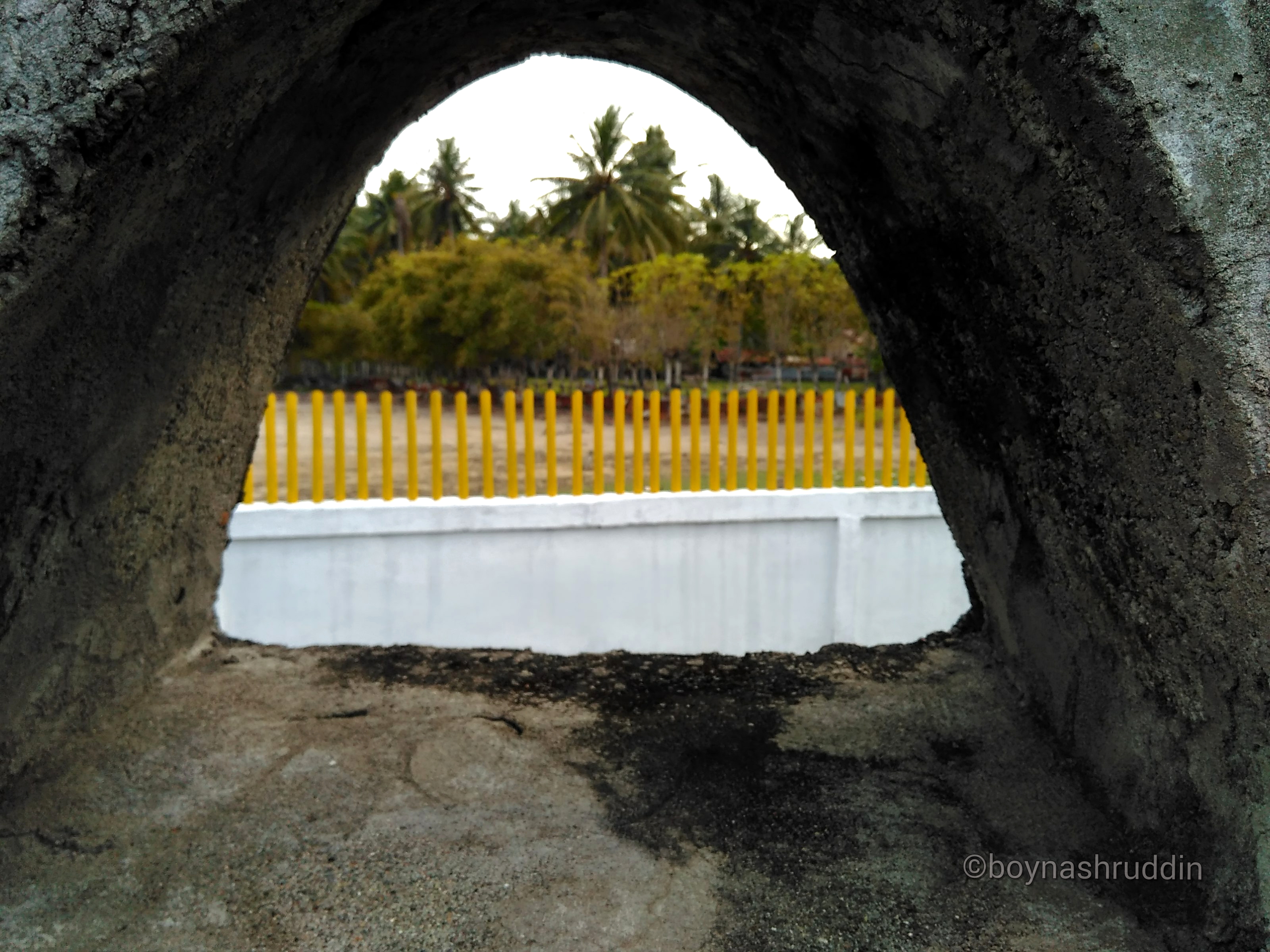
Like the fort Indrapatra, the this fortress building located in Gampong Beurandeh also has holes in every part of the wall. Each wall has four holes, the total holes in the four walls are 16 units.
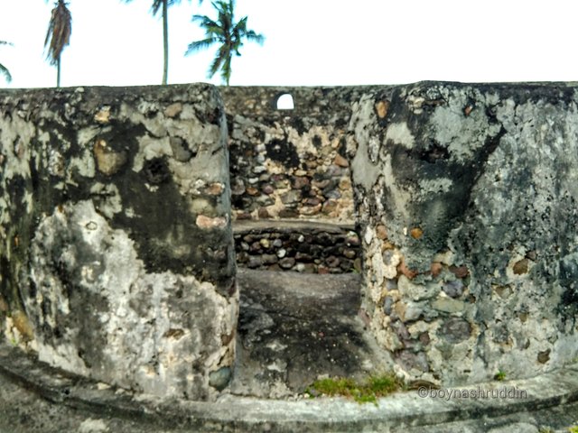
The inside of the fortress building of Sultan Iskandar Muda:
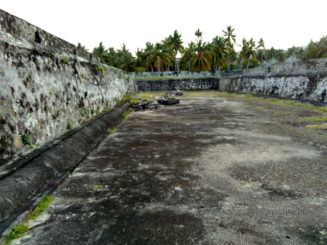
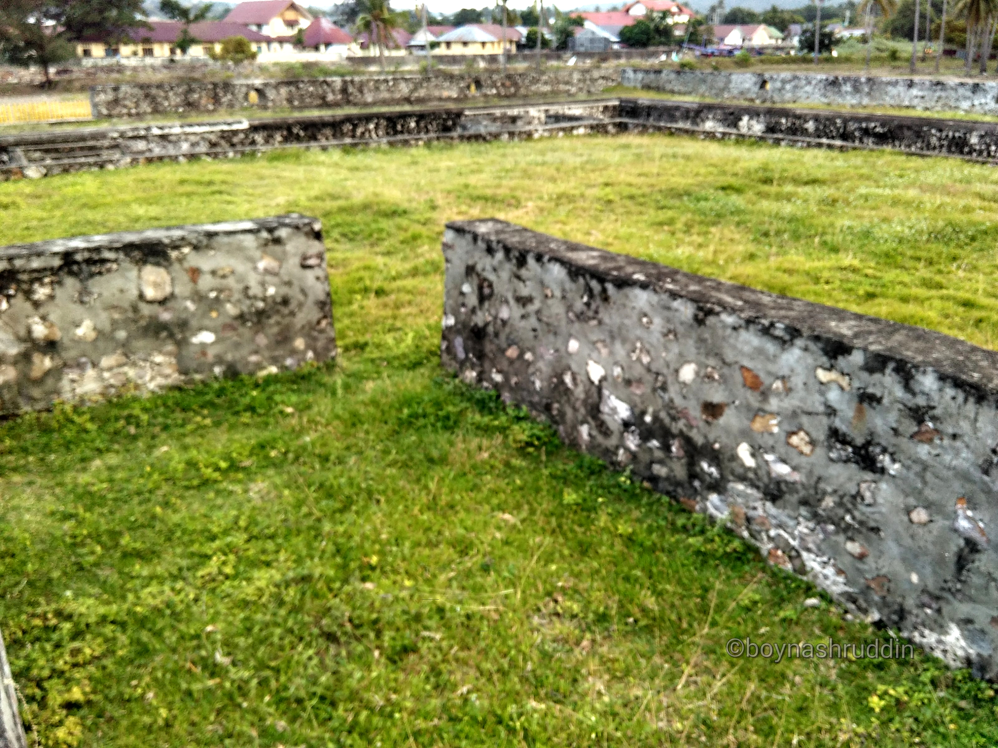
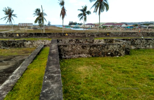
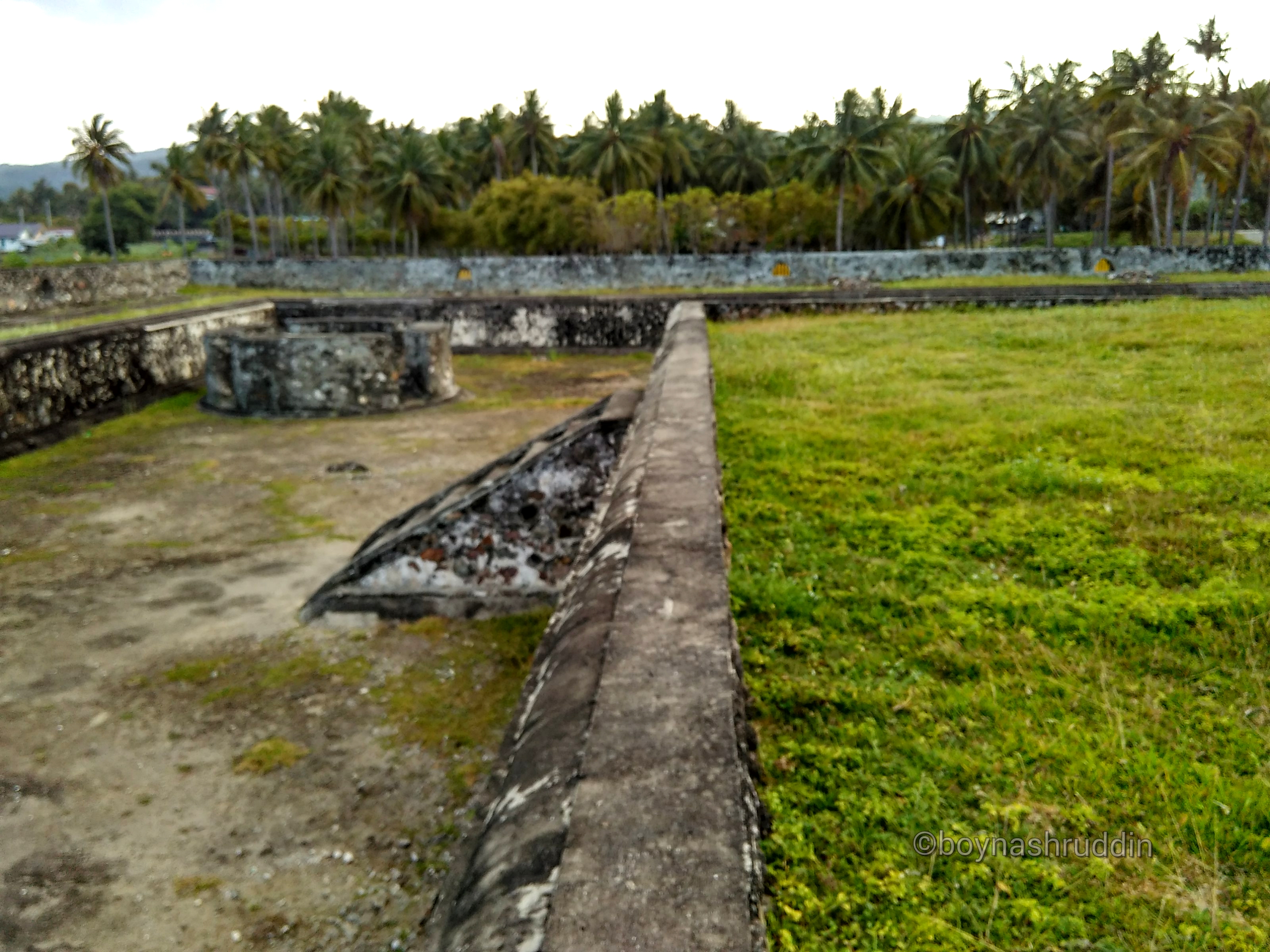
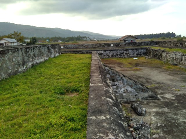
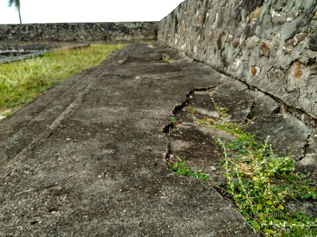
Sultan Iskandar Muda Fortress has a structure who I'm suspect that is a hall in the middle of the building. In the north of the inside of the building there is even a room that one part of the wall has a hole. These holes I estimate to be where to put the cannon for defense purposes. The renovated of Iskandar Muda Fortress also has three staircases.
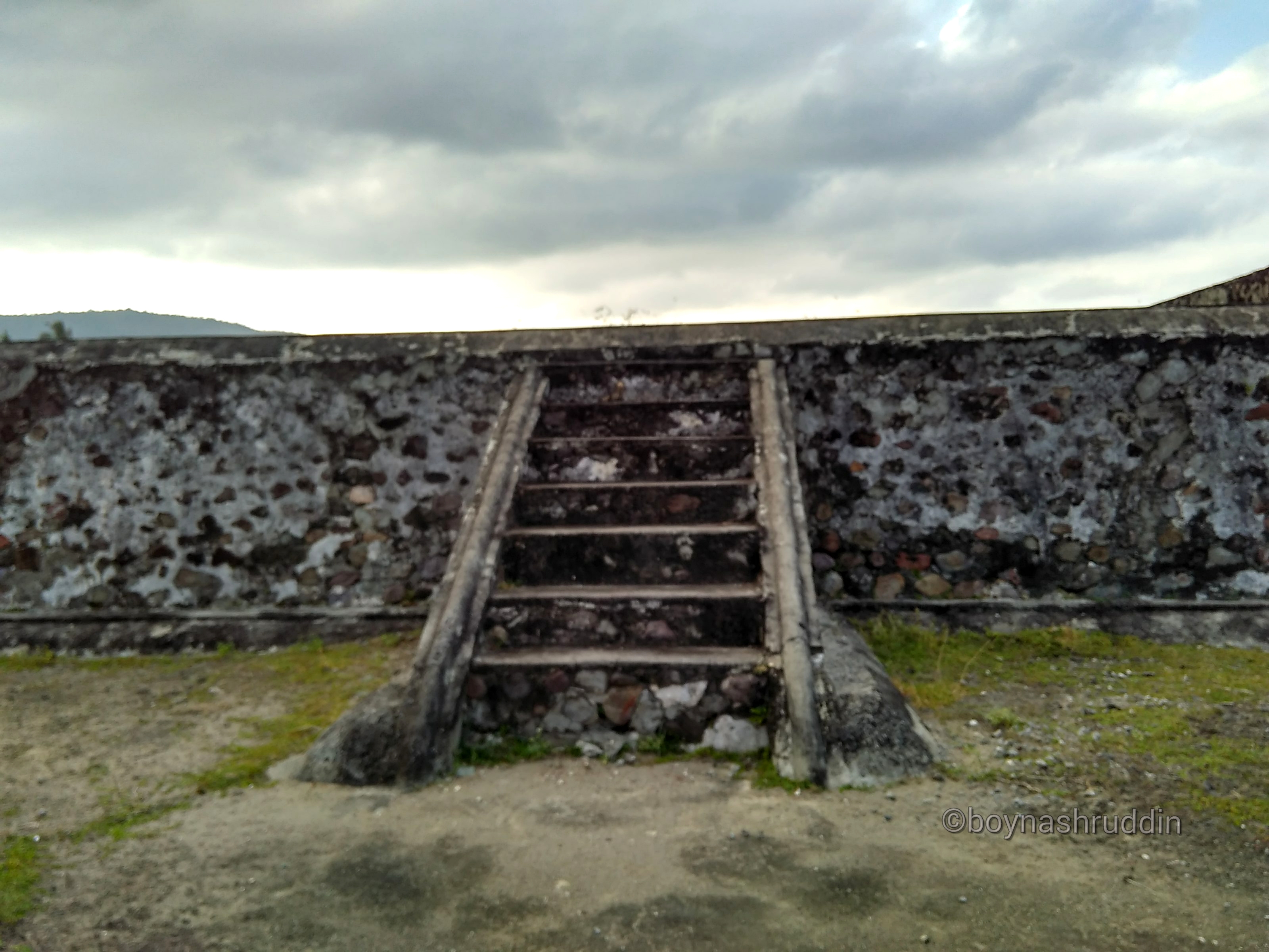
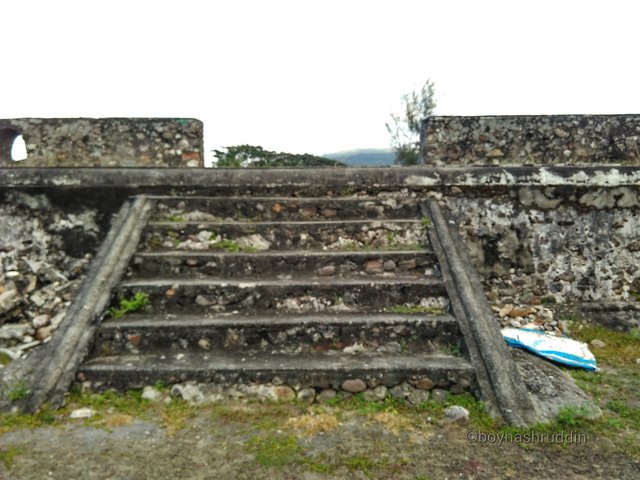
The first ladder becomes access into the building structure that is outside the structure. Then, the second ladder made of cement also becomes the link to move from the main wall into the structure. And lastly one unit of stairs that became access to into the core structure of the castle. Of course, all these allegations require archaeological research and historical studies of experts.
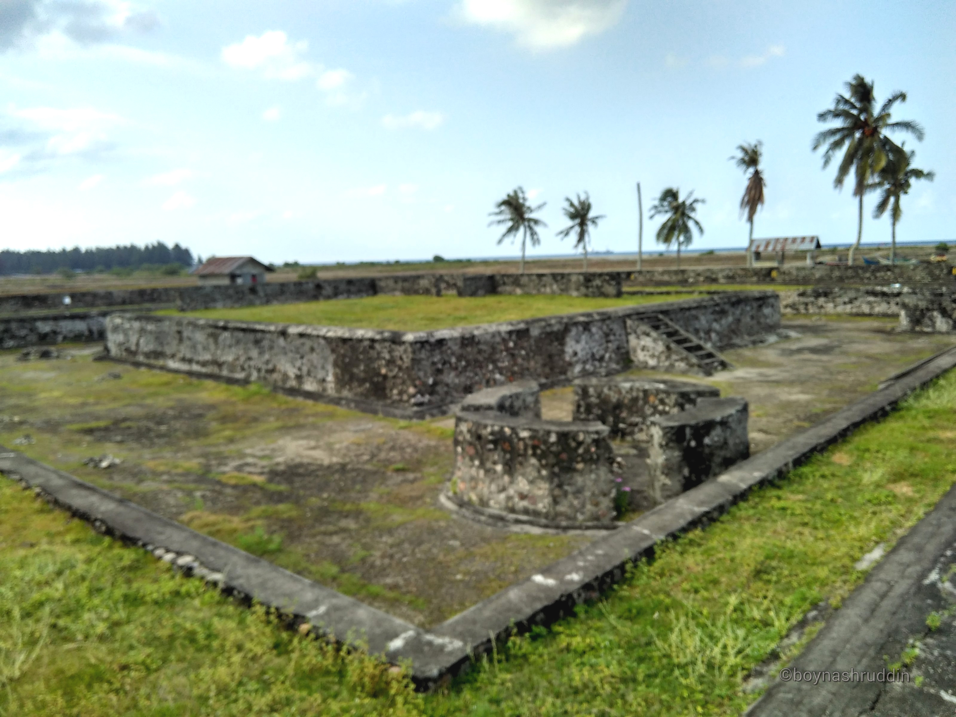
When I came to this site, the weather was mildly friendly. Sunlight is not so stinging my skin that I feel at home for long at this archaeological site. Around the building of the castle also seen coconut trees that refresh the eyes for the visitors to there.
While on the east and north side seen a few fishing boats anchored in a small river, which empties into the Malacca Strait. From the position of this castle I can freely look around the area.
This is also what makes my allegation strengthened that this fort became one of the central defense of the kingdom in the coastline of the Strait of Malacca. In addition, the existence of this fort also shows a connection between the fort Indrapatra and Inong Balee fortress which is a few kilometers on the left and right. If only I had a similar time machine like a Doraemon animated series from Japanese, I certainly not only guessed the function of this building structure.[]
cultural heritage worth preserving, scientific references exist in this precious heritage. thank's @boynashruddin
Sangat berkarakter, klasik... Keren sekali...!. TQ @boynashruddin
Bangsa yang besar adalah bangsa yang tak pernah melupakan sejarah.
This post has received gratitude of 1.61 % from @appreciator thanks to: @boynashruddin.