The Stressful Climb to Pittock Mansion
Situated 1000 feet above sea-level, I had read online that there was a good view of the city from Pittock Mansion and that there was a nice hike leading up to it. I figured that going in the late afternoon before the sunset would be alright.
Pittock Mansion was home to the Oregonian publisher Henry Pittock and his wife Georgiana. Over 100 years old, this mansion has 46 rooms and is open to visitors as a museum, though we didn’t visit the inside of this mansion during our trip. We just came up for the view.
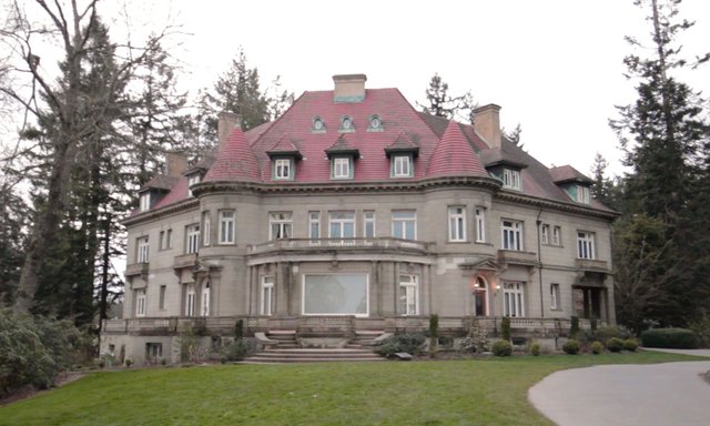
Pittock Mansion.
Bryan’s notes: “I recommend parking on Lovejoy and NW25th, walking up Cumberland road past the beautiful old Portland houses.and mansions, enter Forest Park at the Cumberland road trail head and walk through upper Maclay trail to Pittock Mansion”
I texted Bryan, asking how long it would take.
“Not super long.”
Ok sounds great, I think. At about 6:20pm (later than I had hoped, because the sun would set in an hour) we parked where Bryan had recommended and began our walk up to the trailhead. At first, it seemed fun, walking past the old houses and pondering out loud which individuals would be living in them. You could see why Portland was nicknamed the City of Roses as we walked past house after house which kept rose bushes of various vibrant colours. It wasn’t long though, before we realized that this was no easy ‘stroll through the park’. We were walking up steep winding roads and it was looking like a much longer walk than I had anticipated. We still had to get to the trailhead itself.
Never had my app Maps.Me come in more handy than during this “stroll” (not sponsored, haha). I had pre-downloaded an offline map of Portland on the app and it was able to guide me through GPS with walking directions to any destination. The great thing was how accurate and quick the GPS was with this app. In comparison, when I use Google Maps the GPS often lags and shows your location arrow situated and pointing in the wrong direction. This app was able to accurately guide us to the trailhead.
“Wait, we have to make a decision here,” I pointed ahead of me. We could clearly see the edge of the forest (Forest Park), which meant we were almost at the trailhead. “The app is showing me this trail up to the mansion and it looks like it’s going to take over half an hour in the forest.”
The thing was, sunset was supposed to be at 7:30pm and it was almost 7pm. We didn’t really want to be in the forest once it was dark. It didn’t help that it was rather overcast so it would be even darker within the trees. We still had to make our way back down as well.
“There’s another way up where we can spend less time in the forest if we walk a bit longer along these residential streets.” I pointed out. Everyone agreed that they would rather do that. So we trudged along for another 10 to 15 minutes or so until we reached another entry point into Forest Park. Unfortunately Bee was battling her springtime allergies which were causing her to experience a very stuffy nose and thus difficulty with breathing, especially with all of the elevation. We had to pause for a couple of minutes to let her catch her breath. This was turning out to be more stressful than we had anticipated, what with Bee’s allergies, the sky being cloudy and grey and progressively darkening, and an impending forest to get through.
Finally, we stepped into the forest. Immediately it was a bit darker and quieter. We didn’t see anyone else on the trail, but at least it was very clearly marked and there was less elevation gain here. Maybe it’s my relative inexperience with the outdoors, but the fact that it was getting even darker was creeping me out a bit. Forest Park was a forest alright.
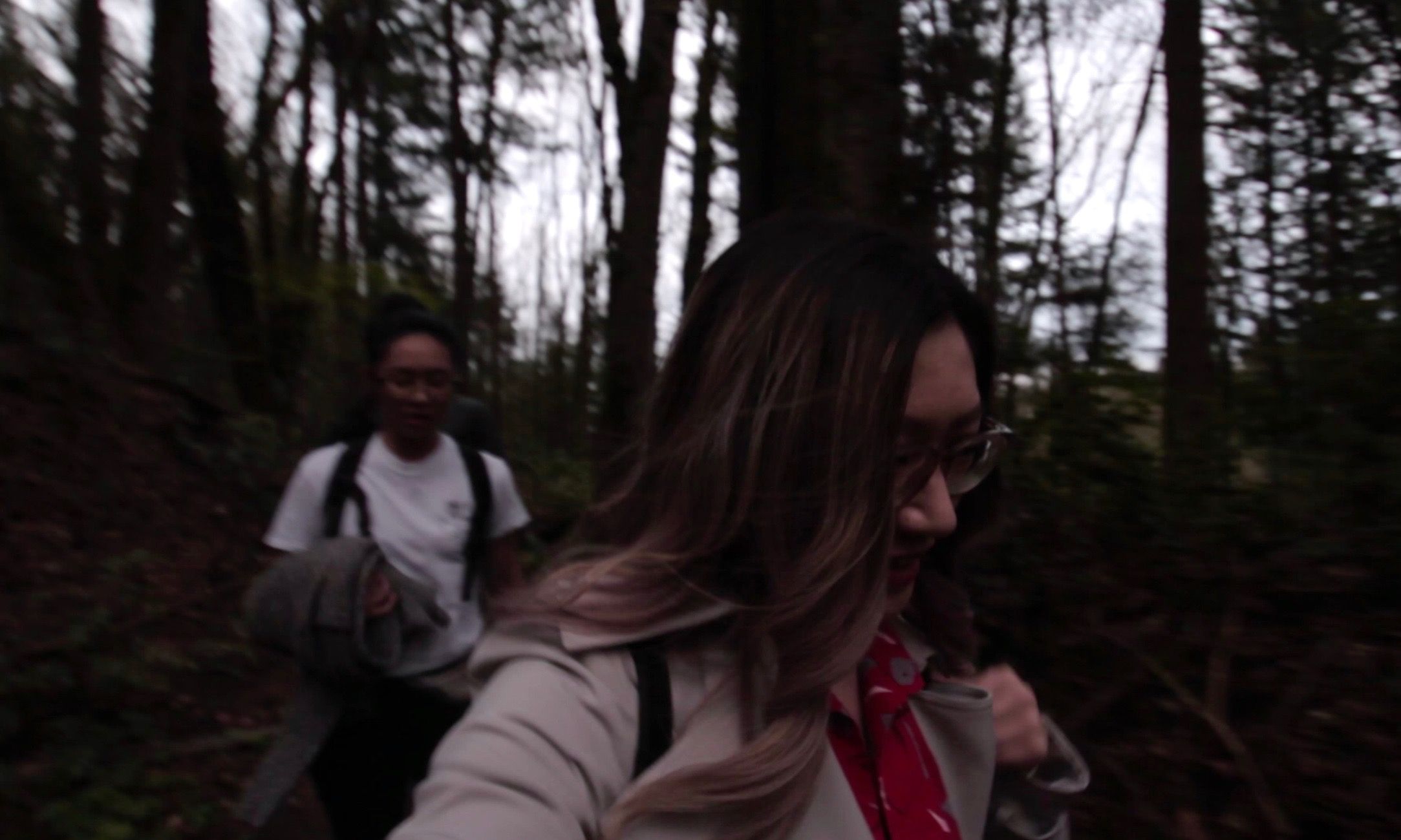
Going through Forest Park, wishing it were brighter.
Less than 10 minutes later, we were out. Up by the mansion, there were a number of cars and visitors who had driven up to the mansion. We lamented why we didn’t just drive up.
“We’re probably the only ones who walked up.”
“Especially at this time of day.”
Visitors enjoying the view in front of Pittock Mansion
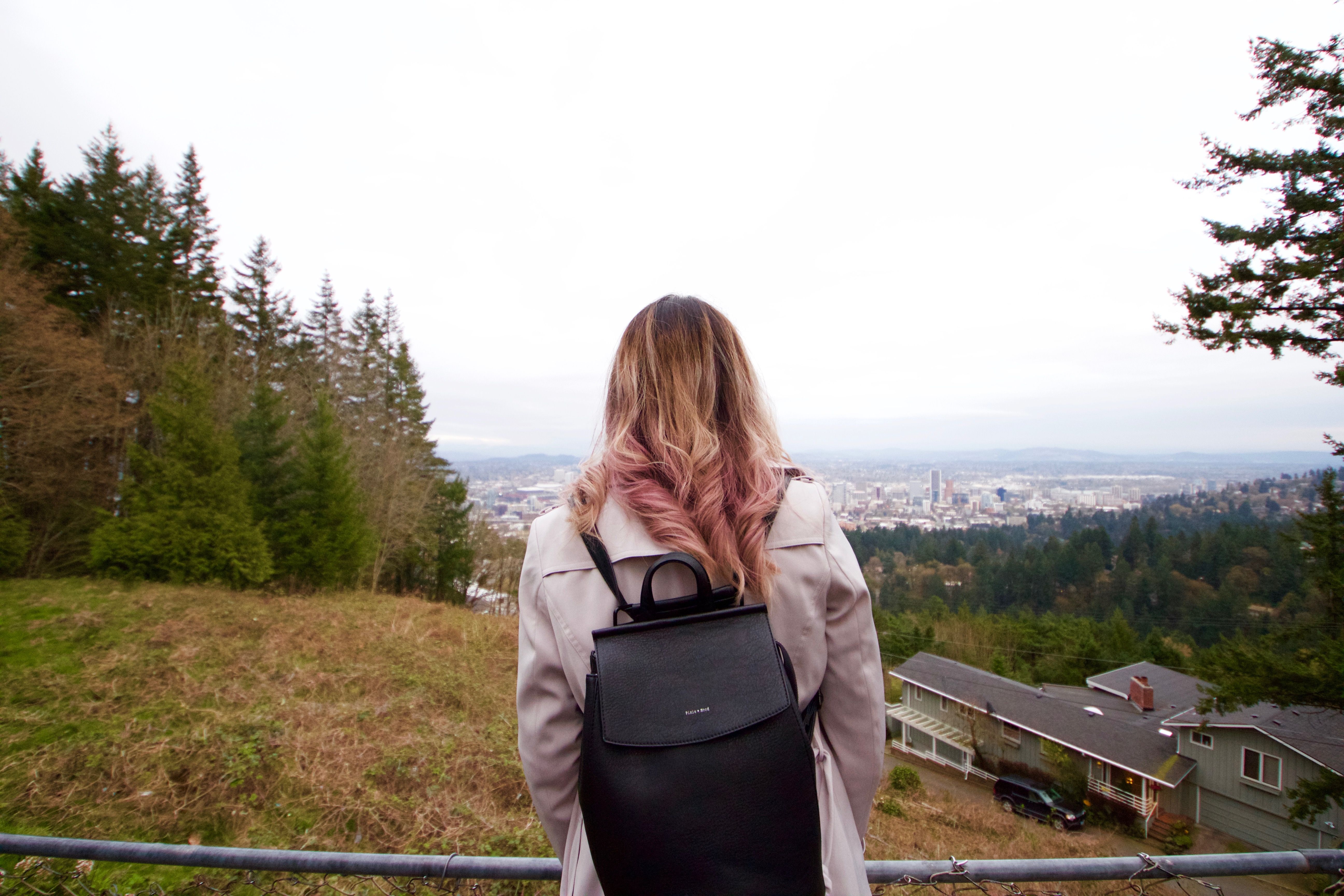
We walked out to the front of the mansion, and the viewpoint revealed itself to us. We were now 1000 feet above sea-level and the bridges crossing the Williamette River looked like tiny toy bridges from where we stood.
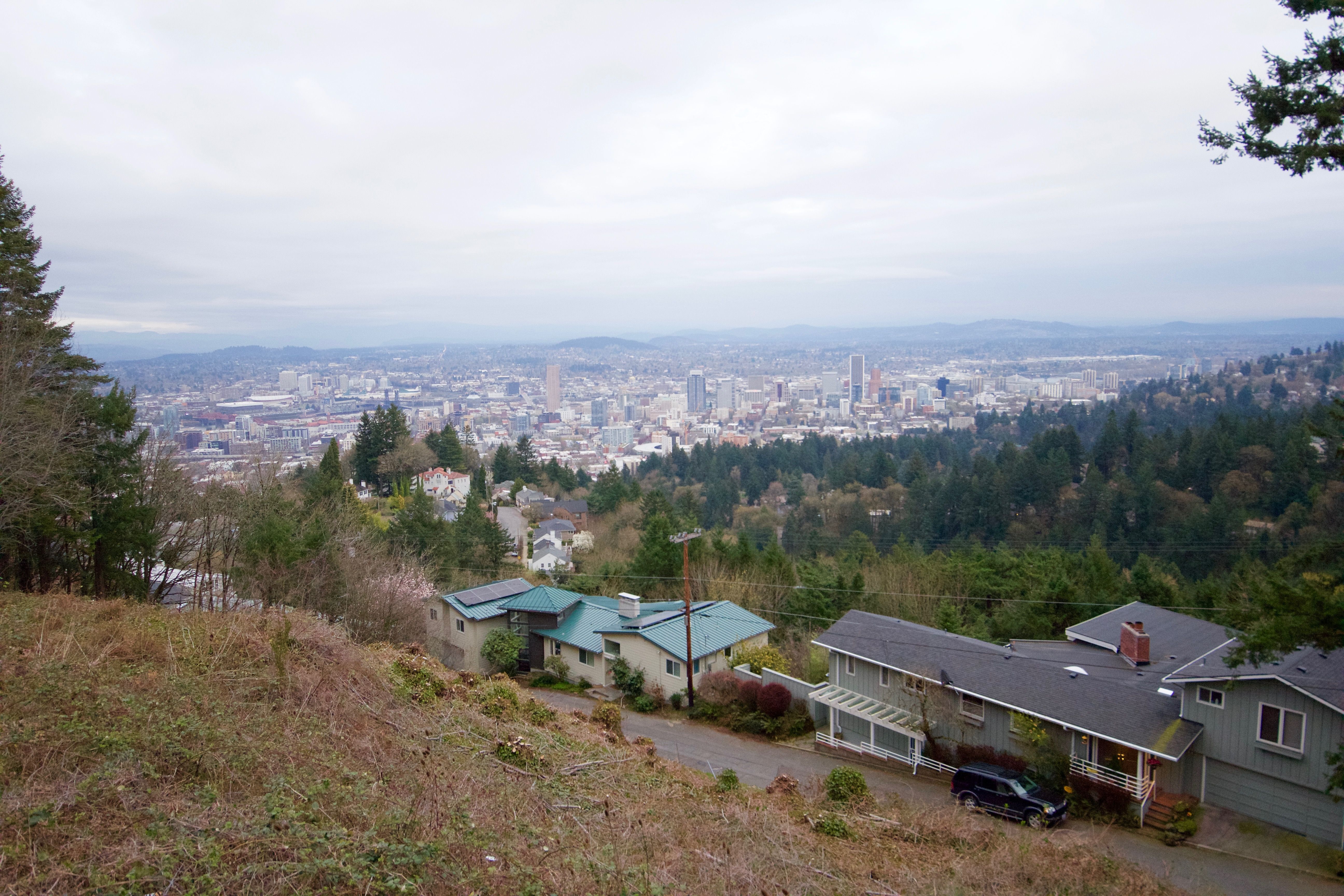
The view we came for.
“Was it worth it though?” we asked as we caught our breaths. Admittedly, we have been spoiled by spectacular views in Vancouver BC so we felt a little underwhelmed by the view. Granted, it was overcast and that always makes things look a bit duller. I think if the skies were clear and we could actually see a sunset then it would have been lovely. I’m sure the night views would have been great too.
We relaxed at the top along with a few other visitors, including a little bunny in the grass a few meters away. After about 10 minutes I checked my watch, “OK we should head back down.”
Going back down, the forest was again darker than when we had come up through it. Knowing that it was a short walk made it feel a lot better though. By the time we reached the car, the sky was almost completely dark.
In the next post, the stress doesn’t end as we make some wrong turns and almost run out of gas on the highway.
Stay tuned for more stories as well as VLOGS on Portland, Oregon!
You can also find me here:
DTube @daphnexplores
Instagram @daphnexplores
YouTube www.youtube.com/daphnexplores
Facebook @daphnexplores
Twitter @daphnexplores