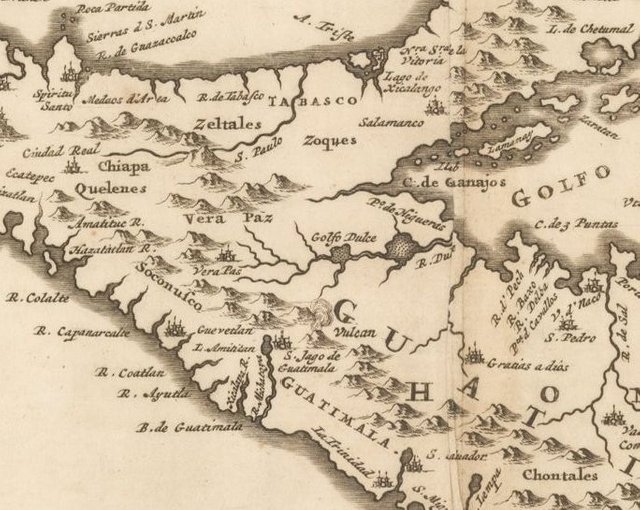
Interesting how the lake appears in a 1671 map by Ogilby (first two images) as a lake near a volcano that feeds into the ocean by way of a rive, yet is absent on a map from 1811 by Pinkerton (second two images) where they seem to have more detail on the volcanoes.
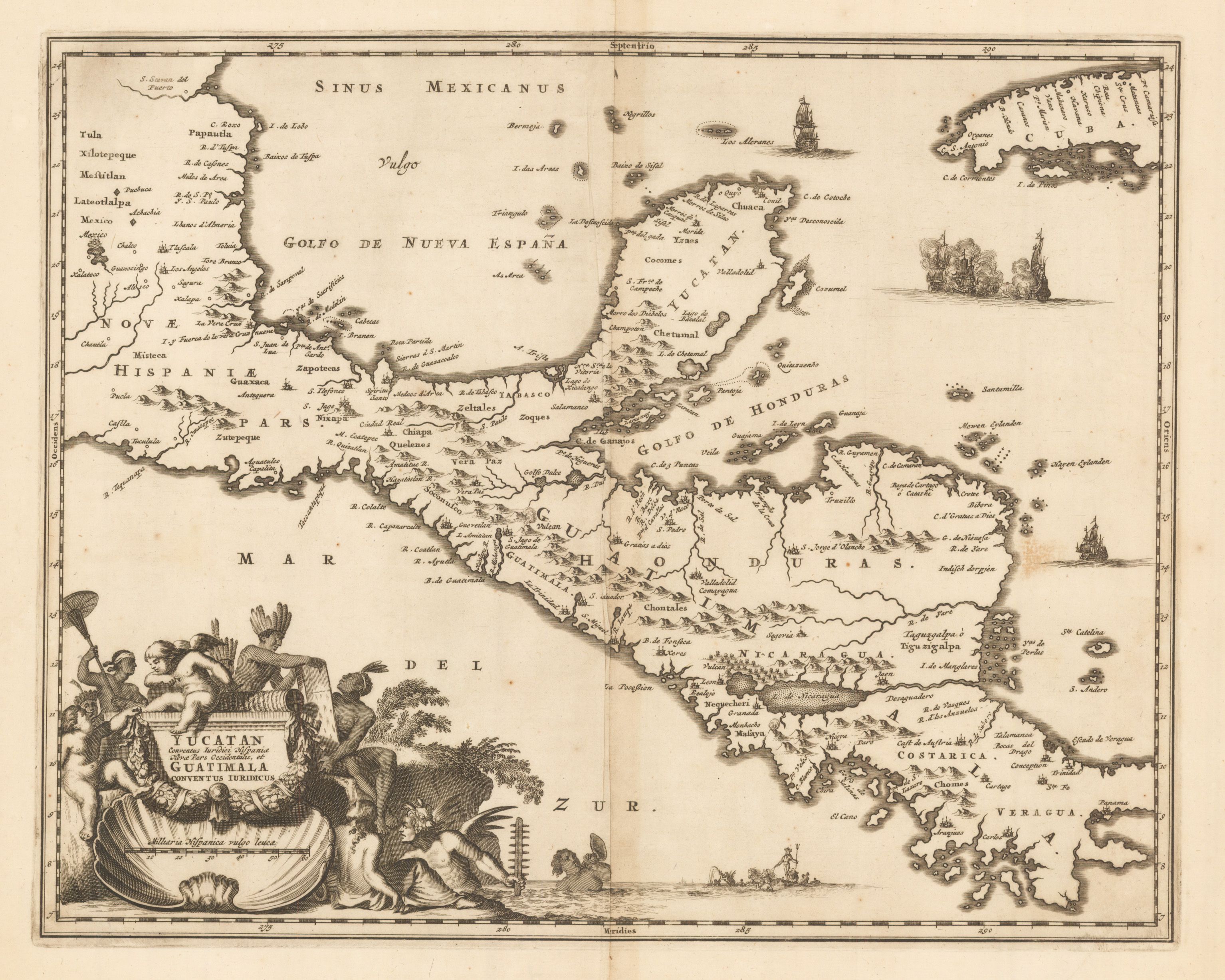
Pinkerton 1671
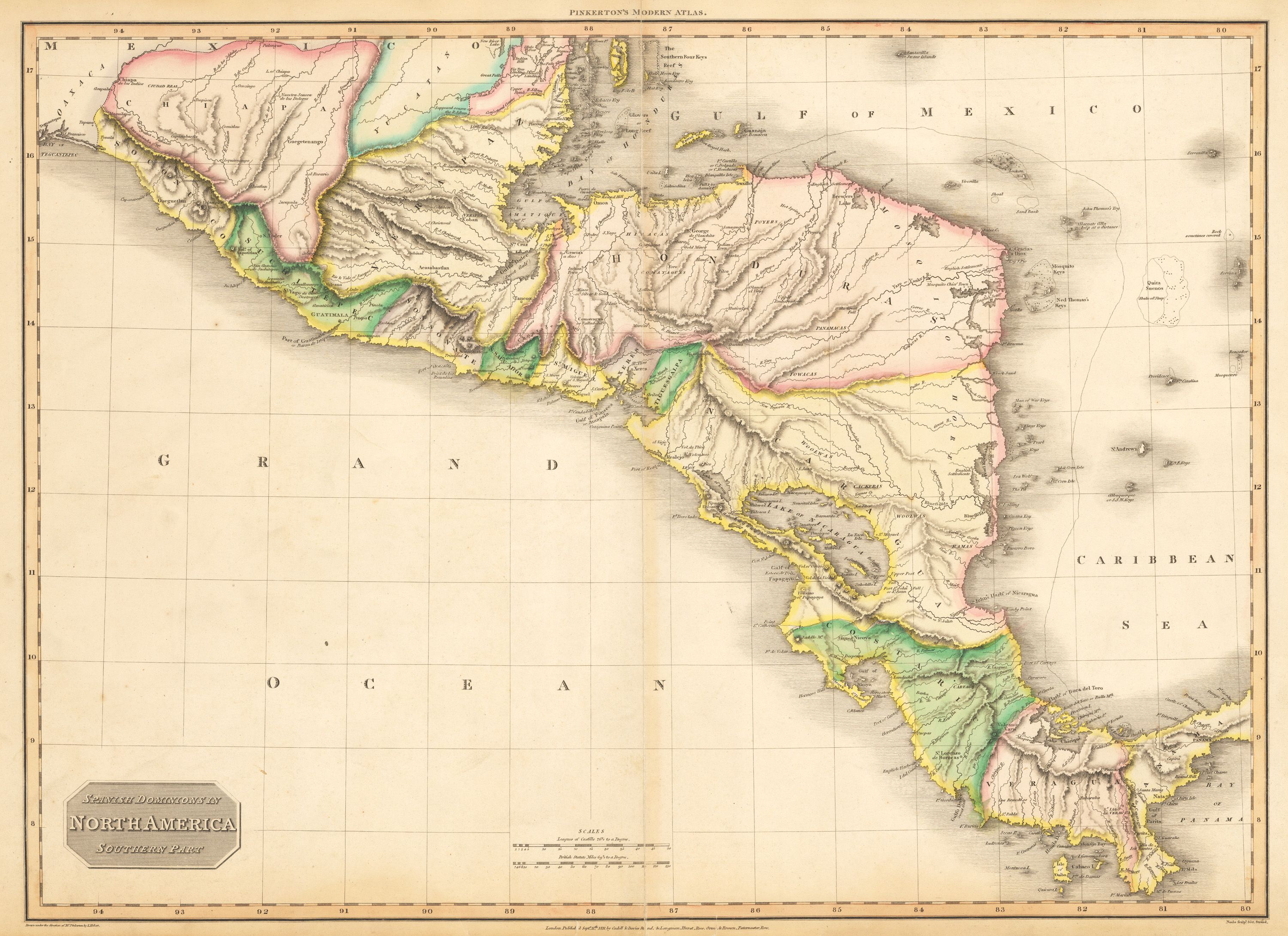
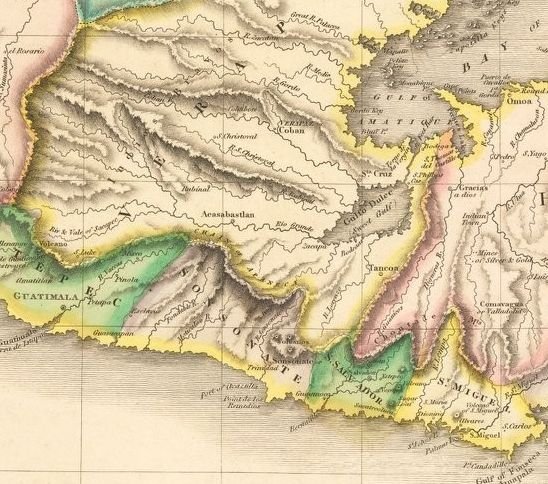
Ogilby 1811
Images by (https://www.hjbmaps.com)
Wow, super interesting. Thank you for sharing, @mapman5000. From what I have read, the lake is endorheic, feeding into two nearby rivers rather than draining into the ocean.
I am having a hard time locating the lake on these maps. Is this it?
That would be my best guess, but it is hard to say for sure. A lot of cartographic features within the new world at that time were based on heresay rather than actual observations. Sometimes loose translations with the indigenous tribes.